category-icon

Marne 77

77 km
5 h 48 min
80 m
Gdynia, Gdańsk, Bystra, Wocławy, Osice, Giemlice, Steblewo, Tczew, Gorzędziej, Subkowy

CHARAKTERYSTYKA TRASY

2019-06-21
Gdynia, Gdańsk, Bystra, Wocławy, Osice, Giemlice, Steblewo, Tczew, Gorzędziej, Subkowy
category-icon
77 km
80 m
121 m
Łatwy
5 h 48 min
4.2/6
Wycieczka rowerowa na trasie Gdynia - Subkowy. Po drodze sporo ciekawych miejsc i pięknych widoków, zwłaszcza z wałów przeciwpowodziowych w okolicach miejscowości Ptaszniki. Planowana wycieczka do zamku w Gniewie została przerwana przez siły natury w okolicach Subkowy. Burza i ulewny deszcz umilał oczekiwanie na pociąg do Gdyni.

Komentarze

NA TEJ TRASIE PRZYDA CI SIĘ MAPA Z NASZEJ APLIKACJI

Gdańsk. Plan miasta
MAPA TURYSTYCZNA W APLIKACJI TRASEO
Gdańsk. Plan miasta

Na planie zaznaczono wszystkie aktualne ulice, kina, teatry, ośrodki kultury, urzędy, stacje benzynowe, noclegi, restauracje, układ komunikacji. Oprócz spisu ulic są tu ważniejsze informacje dotyczące Gdańska oraz opis ciekawych miejsc.

Tricity Landscape Park
MAPA TURYSTYCZNA W APLIKACJI TRASEO
Tricity Landscape Park

Tricity Landscape Park is a protected area in northern Poland, in the Pomeranian Voivodeship, close to Gdynia and Gdańsk. Cycling, walking and horse trails are marked on the map, as well as other information useful for tourists.

Powiśle and Kociewie - western part
MAPA TURYSTYCZNA W APLIKACJI TRASEO
Powiśle and Kociewie - western part

The map of Kociewie and Powiśle in the western part covers the area enclosed by Skarszewo in the west, Kwidzyn in the south, Malbork in the east and Tczew in the north. The map provides a detailed depiction of the area, including trails and tourist attractions. On the map of Powiśle and Kociewie you will find, among others, the Powiśle Castle Route, the Grzymisław Route, EuroVelo 9 and the Kopernikowski Route.

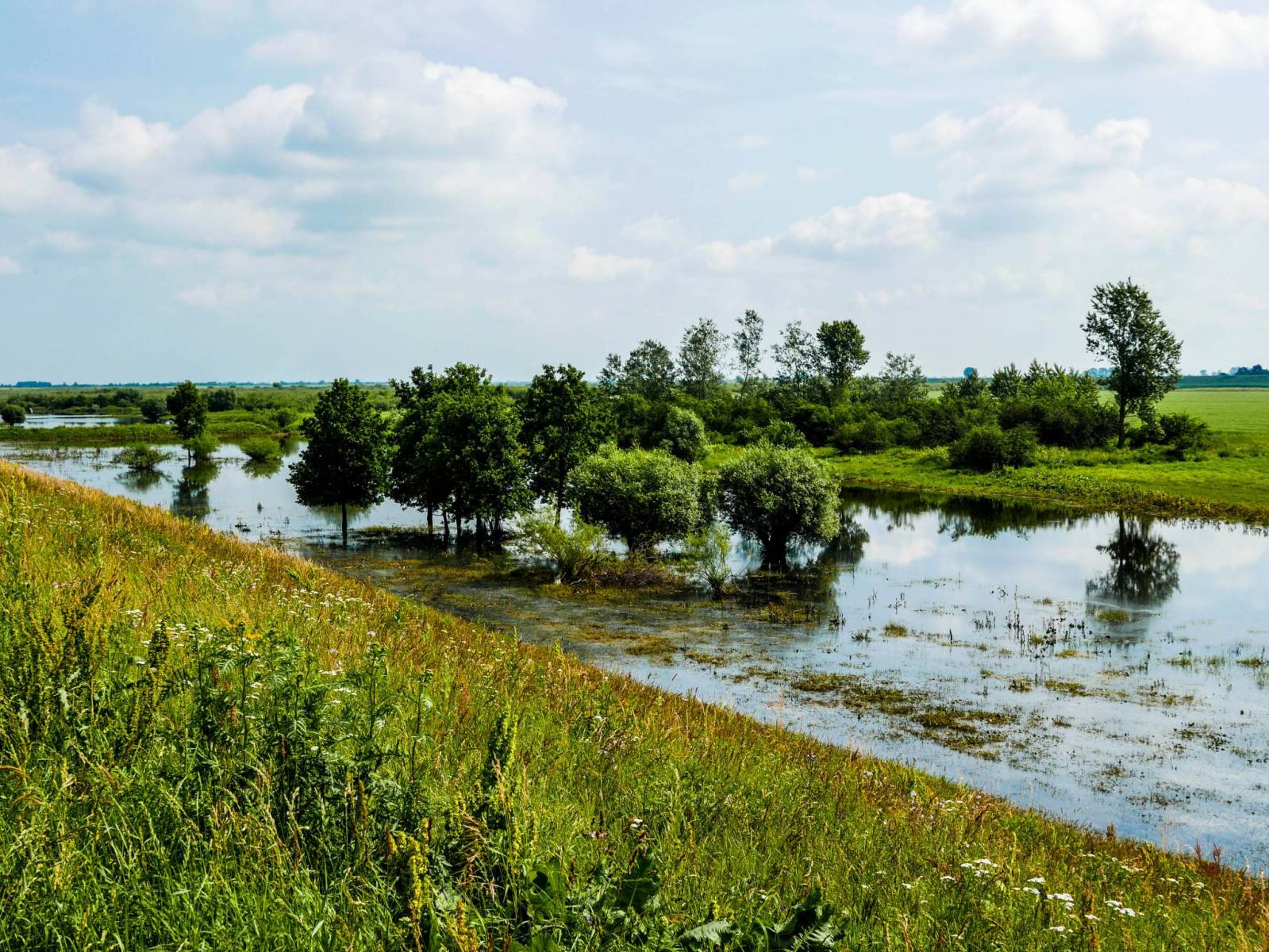
Kociewie is an ethnographic and cultural region in Gdańsk Pomerania, located on the left bank of the Vistula River in the Wda and Wierzyca river basins, covering the eastern part of the Tuchola Forest. Approximately Kociewie is located in the area of the present Starogardzki, Tczewski and northern part of Świecki counties, inhabited by approximately 350,000 people. Some of the region's inhabitants speak a Kocievian dialect.

Mierzeja Wislana i Zuławy Wislane
MAPA TURYSTYCZNA W APLIKACJI TRASEO
Mierzeja Wislana i Zuławy Wislane
Central Kashubia
MAPA TURYSTYCZNA W APLIKACJI TRASEO
Central Kashubia

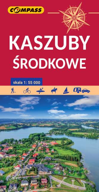
Kashubia is an area in eastern Pomerania, a region of north-western Poland. In this characteristic post-glacial landscape with hills rising up to 656 feet above sea level, there are almost 250 lakes. At the same time, it is also one of the largest forest areas in Poland. Located west of Gdańsk and the mouth of the Vistula river, it is inhabited by members of the Kashubian ethnic group. The map depicts the middle part of the region, the Tuchola Forest and part of the Tricity Landscape Park near Gdańsk.

Pomorskie. Zamki i pałace
MAPA TURYSTYCZNA W APLIKACJI TRASEO
Pomorskie. Zamki i pałace

Mapa województwa pomorskiego na której zaznaczono za pomocą ilustracji zamki, dwory i pałace w województwie pomorskim. Mapa zawiera aktualną sieć dróg. Łącznie uwzględniono 121 miejsc wartych odwiedzenia.

Miejscowości na trasie