

senyfNa Traseo od lipca 2017
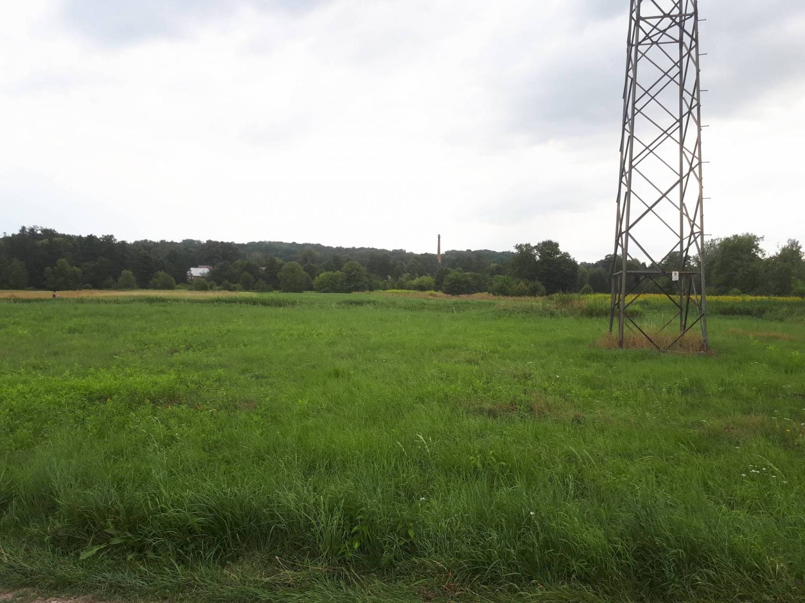
CHARAKTERYSTYKA TRASY
2017-08-12

31 km
63 m
119 m
Średni
2 h 52 min
3.9/6
Komentarze
NA TEJ TRASIE PRZYDA CI SIĘ MAPA Z NASZEJ APLIKACJI
MAPA TURYSTYCZNA W APLIKACJI TRASEO
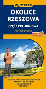
Rzeszów Region. South Part
The map depicts the central part of Podkarpackie Voivodeship in Poland, south from Rzeszow. The map range: Rzeszów to the north, Ropczyce and Krosno to the west, Brzozów to the south, Przeworsk to the east. The map covers also Pogórze Strzyżowskie (The Strzyżów Piedmont), Pogórze Dynowskie (The Dynów Piedmont) and part of Pogórze Przemyskie (The Przemyśl Piedmont). This is still a relatively unknown region among tourists.
MAPA TURYSTYCZNA W APLIKACJI TRASEO
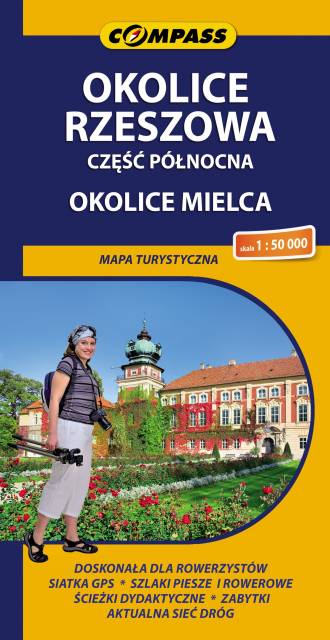
Rzeszów Region. North Part
The map depicts the central part of the Podkarpackie Voivodeship in Poland, north from Rzeszow. It also covers Mielec area and two popular tourist destinations: Leżajsk and Łańcut. Map range: Szwagrów and Nowa Dęba to the north, Czermin to the west, Dębica and Rzeszów to the south, Białobrzegi and Leżajsk to the east.