

CHARAKTERYSTYKA TRASY

Komentarze
NA TEJ TRASIE PRZYDA CI SIĘ MAPA Z NASZEJ APLIKACJI
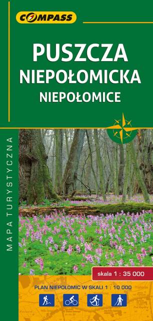
The map presents the large forest area east from Kraków. This is one of the most popular recreational area near this big city, also called "green lungs" of Kraków. It's a perfect place for outdoor activities, such as strolling, cycling and cross country skiing. Tourists interested in history can visit the royal castle from XIV century in Niepołomice - Polish kings used to hunt in the area.
The map range: Wawrzeńczyce to the north, Kraków to the west and Bochnia to the south-east.
Update: 2017
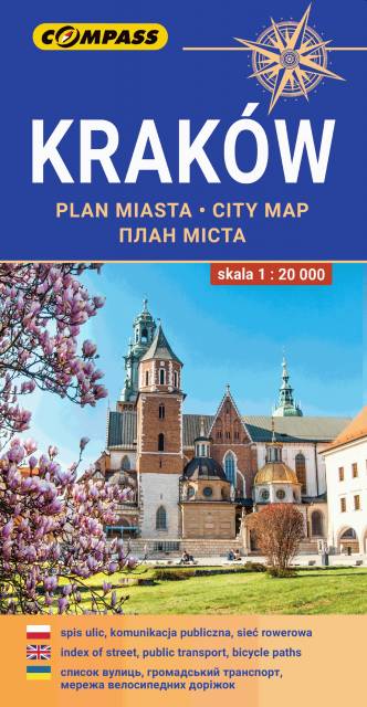
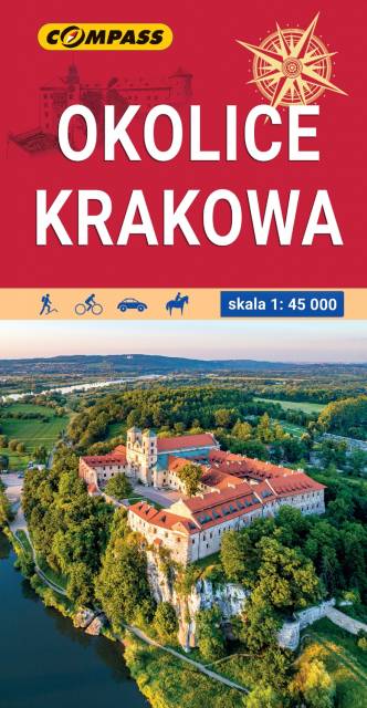
The map in detailed scale depicts the most interesting recreational terrains near Krakow, including Krakow Valleys Landscape Park, Ojców National Park, Niepołomice Forest, Wieliczka Foothills, Wadowice, Myślenice. Map range: Myślenice to the south, Sułoszowa to the north, Wadowice to the west, Bochnia to the east.
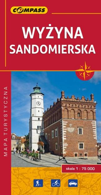
Mapa Wyżyny Sandomierskiej przedstawia ziemię sandomierską - historyczną krainę Polski położoną między Pilicą a Wisłą oraz między Sanem a Dunajcem. Zasięg mapy wyznaczają: Józefów nad Wisłą na północy, Gnojno na zachodzie, Nowa Dęba na południu i Zaleszany na wschodzie. Obszar mapy obejmuje: Ostrowiec Świętokrzyski, Opatów, Sandomierz, Staszów, Tarnobrzeg.
Głównym ośrodkiem tego regionu był i nadal jest Sandomierz - miasto położone nad rzeką Wisłą, na siedmiu wzgórzach (stąd nazywane jest czasem "małym Rzymem"), na granicy Wyżyny Sandomierskiej. Sandomierz jest ważnym ośrodkiem turystycznym, bogatym we wspaniałe zabytki z różnych okresów historycznych.
Rok wydania: 2016
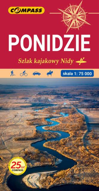
The map depicts a region in the Świętokrzyskie Voivodeship, along the lower and middle Nida river. The valley is marked by numerous meadows and pastures, and its main urban centers are ancient Lesser Poland towns of Pinczow, Wislica and Nowy Korczyn. The map range: Chęciny to the north, Proszowice to the south, Jędrzejów to the west nad Staszów to the east. The map presents also Chańcza artificial lake, which is a perfect place for water sports and recreation.