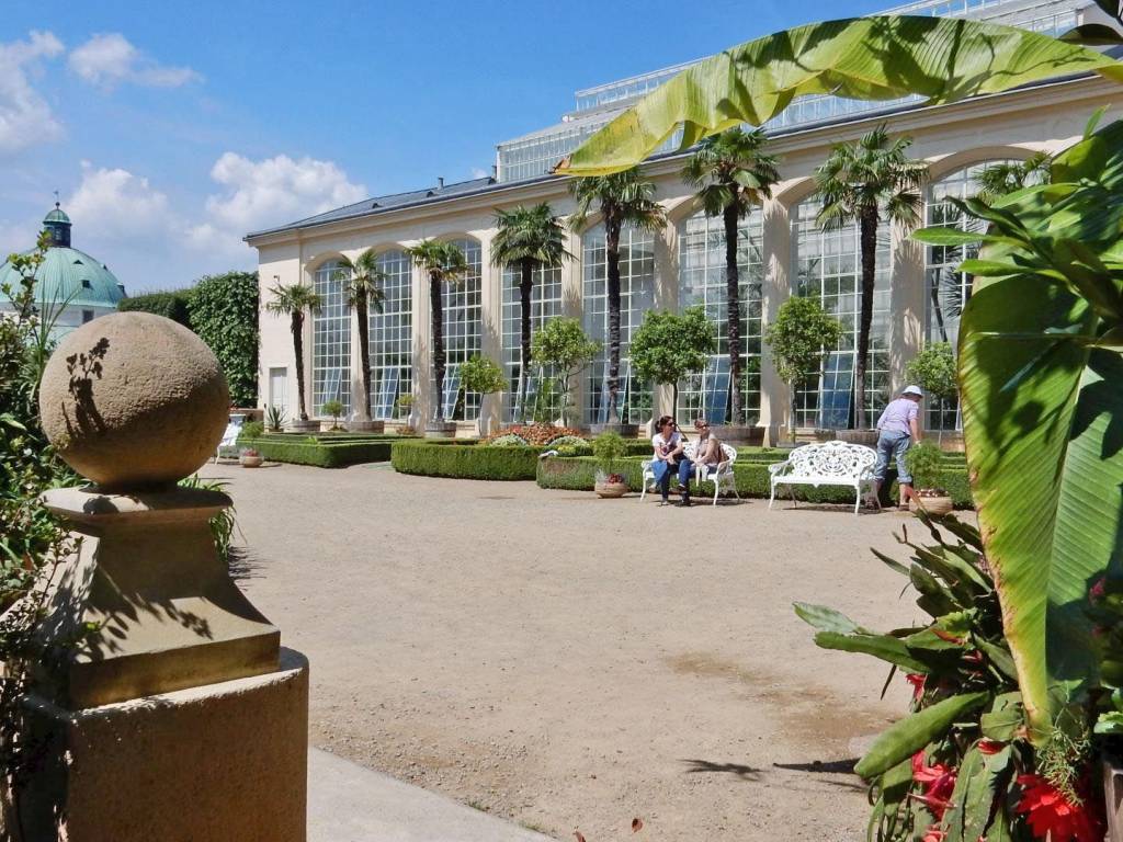
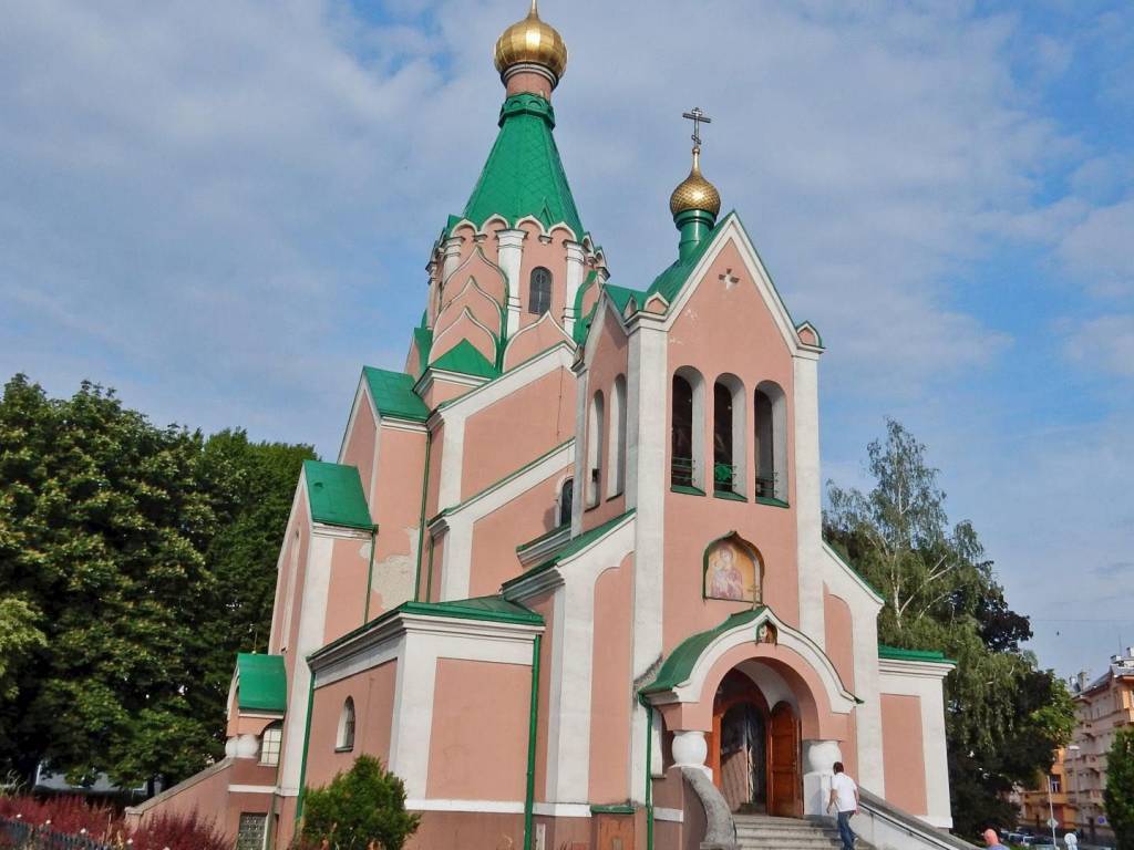
Wycieczka autokarowa zorganizowana przez PTTK Rybnik do Czech, a dokładniej to Kroměříž i Olomouc. W Kromieryżu celem był Ogród Kwiatowy w którym znajduje się labirynt zielonych ścian, oryginalne kwiaty, rotunda z wahadłem i rzeźbami, fontanny, oczka wodne, zabytkowe szklarnie, oraz kolumnada z posągami przedstawiającymi antyczne bóstwa i wiele innych ciekawych i godnych zwiedzenia miejsc. Olomouc nazywany Perłą Baroku, jedno z największych i historycznie najważniejszych miast Republiki Czeskiej. Historia Ołomuńca jest długa i bardzo bogata i nie sposób przedstawić jej krotko. W samym centrum Ołomuńca znajduje się Rynek Górny z ratuszem oraz kolumną Trójcy Przenajświętszej, budowla ma 35 metrów wysokości, co czyni ją najwyższą rzeźbą w Czechach i fontannami oraz Rynek Dolny z kolumną i fontannami. Jest też gotycka katedra św. Wacława, cerkiew św. Gorazda, willa Primavera. Pięknie odnowione kamienice z dbałością o detale architektoniczne. Gdzie by nie spojrzeć, tam należałoby wykonać zdjęcie. Jest tak jak powiedział nasz przewodnik Pan Piotr Polok, aby zwiedzić Olomouc, trzeba kilka dni. Tutaj należą się podziękowania dla Pana Piotra Poloka za fachową znajomość tematu i nie tylko, można było dowiedzieć się od Niego dużo więcej niż przewidywał program wycieczki. Podziękowania kieruję też do organizatorów wycieczki i Pana Bogdana, kierowcy autokaru. Pozdrawiam małą Zuzię, która dzielnie dotrzymywała kroku oraz wszystkich uczestników wycieczki. Więcej na stronie https://www.janham.cba.pl/index.php?option=com_content&view=article&id=56:czerwiec-2016&catid=2&Itemid=173
Komentarze
NA TEJ TRASIE PRZYDA CI SIĘ MAPA Z NASZEJ APLIKACJI
MAPA TURYSTYCZNA W APLIKACJI TRASEO
Area of Tychy and Pszczyna
The map range: Oświęcim to the east, Żory to the west, Goczałkowickie Lake to the south. The map presents information useful for tourists, walking and cycling trails, tourist attractions. The most interesting places are highlighted with a yellow frame.
MAPA TURYSTYCZNA W APLIKACJI TRASEO
Ostrava Region
The map presents part of north-eastern Czech Republic, near the border with Poland. The capital city of the region -Ostrava - straddles the border of the two historic provinces of Moravia and Silesia.
Published: 2016/2017
MAPA TURYSTYCZNA W APLIKACJI TRASEO
Olomouc Region
The map presents the region of Olomouc, the historical capital city of Moravia, situated in the east of the Czech Republic.
Published: 2016.2017.
MAPA TURYSTYCZNA W APLIKACJI TRASEO
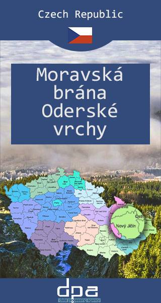
Moravian Gate and Oderské vrchy
The Moravian Gate is a geomorphological feature in the Moravian region of the Czech Republic. It is formed by the depression between the Carpathian Mountains in the east and the Sudetes in the west. Because of its low altitude, the Moravian Gate has since ancient times been a natural pass between the Sudetes (Oderské vrchy range, the highest peak is Fidlův kopec, 680 metres) in the northwest and the Western Carpathians (Moravian-Silesian Beskids) in the southeast. Here ran the most important trade routes, such as the Amber Road from the Baltic to the Adriatic coast, as well as roads from the Czech lands to Upper Silesia and Lesser Poland. Today the D1 highway leads from the Moravian capital Brno to Ostrava, the centre of the Moravian-Silesian Region. Further to the north the road reaches the border with Poland near the town of Racibórz and Wodzisław Śląski. The Austrian Northern Railway built in 1847 from Vienna to Bohumín also traverses the Moravian Gate.
Published: 2016/2017
MAPA TURYSTYCZNA W APLIKACJI TRASEO
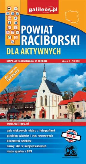
Racibórz County
The map presents the Racibórz County in the Upper Silesia region, Poland. It is comprised of five municipalities: Racibórz, Kornowac, Nędza, Kuźnia Raciborska, Rudnik, Pietrowice Wielkie, Krzanowice, Krzyżanowice. The most interesting places are highlighted with a yellow frame. Cycling, walking and didactic trails are marked on the map.
MAPA TURYSTYCZNA W APLIKACJI TRASEO
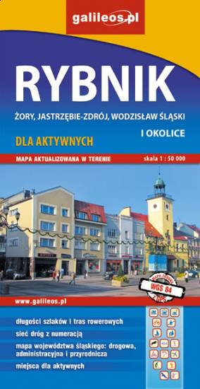
Rybnik Region
The map range: Żory in Poland to the east, Karviná in Czech Republic to the south, Wodzisław Śląski (Poland) and Ostrava suburbs (Czech Republic) to the west, and Gliwice suburbs (Poland) to the north. Tourist attractions, cycling and walking trails, boundaries of protected areas, as well as accomodation facilities are marked on the map.