
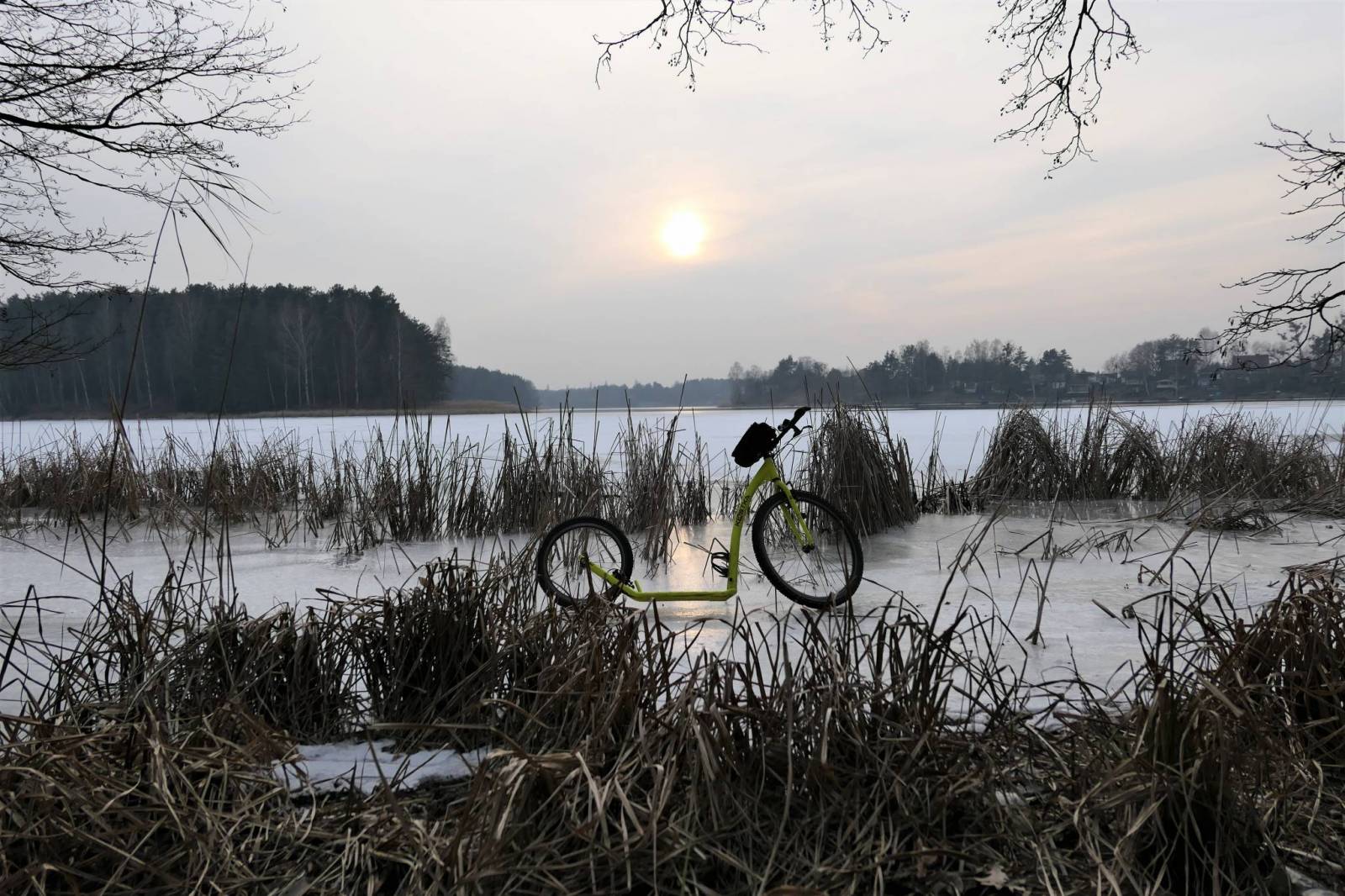
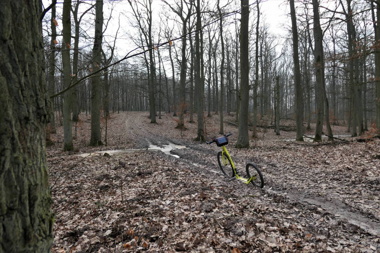
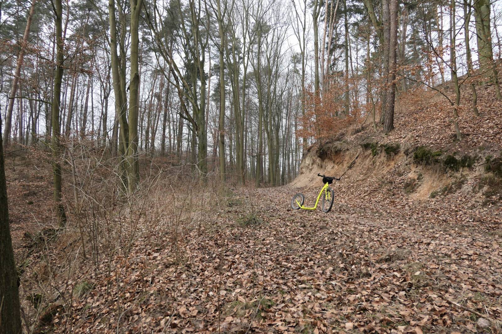

CHARAKTERYSTYKA TRASY

Komentarze
NA TEJ TRASIE PRZYDA CI SIĘ MAPA Z NASZEJ APLIKACJI
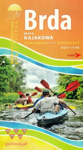
Mapa Brda przedstawia szlak kajakowy rzeką Brdą, od Tucholi do Bydgoszczy. Na mapie zaznaczono kilometraż rzeki oraz obiekty istotne dla kajakarza takie jak miejsca niebezpieczne, przeszkody na trasie spływu, pola biwakowe.
Mapa jest zorientowana zgodnie z kierunkiem płynięcia.
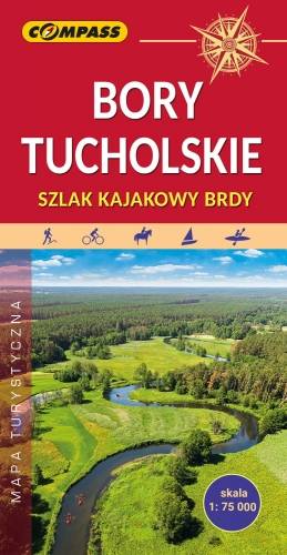
The Tuchola Forest (Bory Tucholskie) is a large pine woods near the town of Tuchola in northern Poland, which lies between Brda and Wda Rivers. The area is one of the biggest forests in Poland and Central Europe, and it is protected by the Tuchola Forest National Park. The map range: Wdzydze Tucholskie and Starogard Gdański to the north, Widno and Chojnice to the west, Wierzchucin to the south and Warlubie to the east.
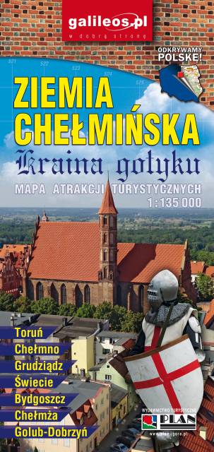
An updated map of Ziemia Chełmińska. The most important tourist attractions of the region are marked on the map as icons. The map covers Chełmno, Toruń, Chełmża, Świecie, Grudziądz, Golub-Dobrzyń and Bydgoszcz. Year of publication 2017
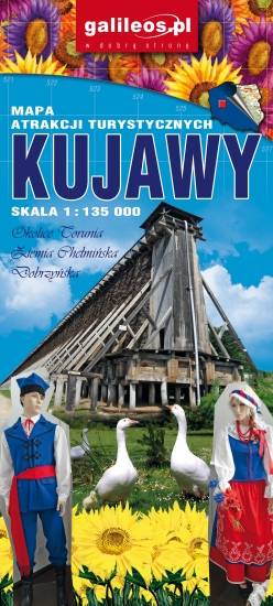
Kujawy is a historical region in north-central Poland, situated on the left bank of Vistula, east from Noteć River and Lake Gopło. The region is characterized by a rich tradition of folklore. The map is dedicated mainly for tourists with cars. Most interesting places are presented with coloured graphic symbols.