

CHARAKTERYSTYKA TRASY

Komentarze
NA TEJ TRASIE PRZYDA CI SIĘ MAPA Z NASZEJ APLIKACJI
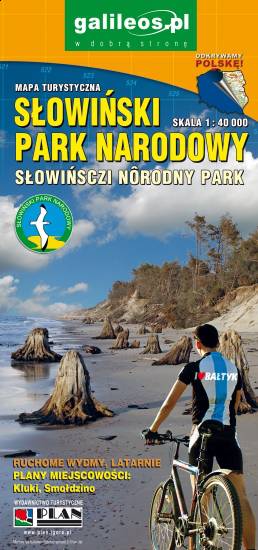
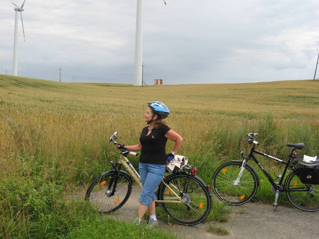
The Słowiński National Park is a national park in the Pomeranian Voivodeship, northern Poland. It is situated on the Baltic coast, between Łeba and Rowy. The map range: Łeba to the east, Ustka to the west, Warblino to the south. The area is covered by a network of walking and cycling trails, which are marked on the map.
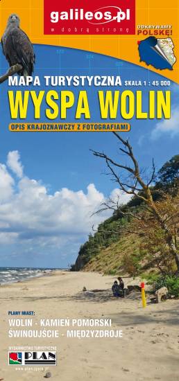
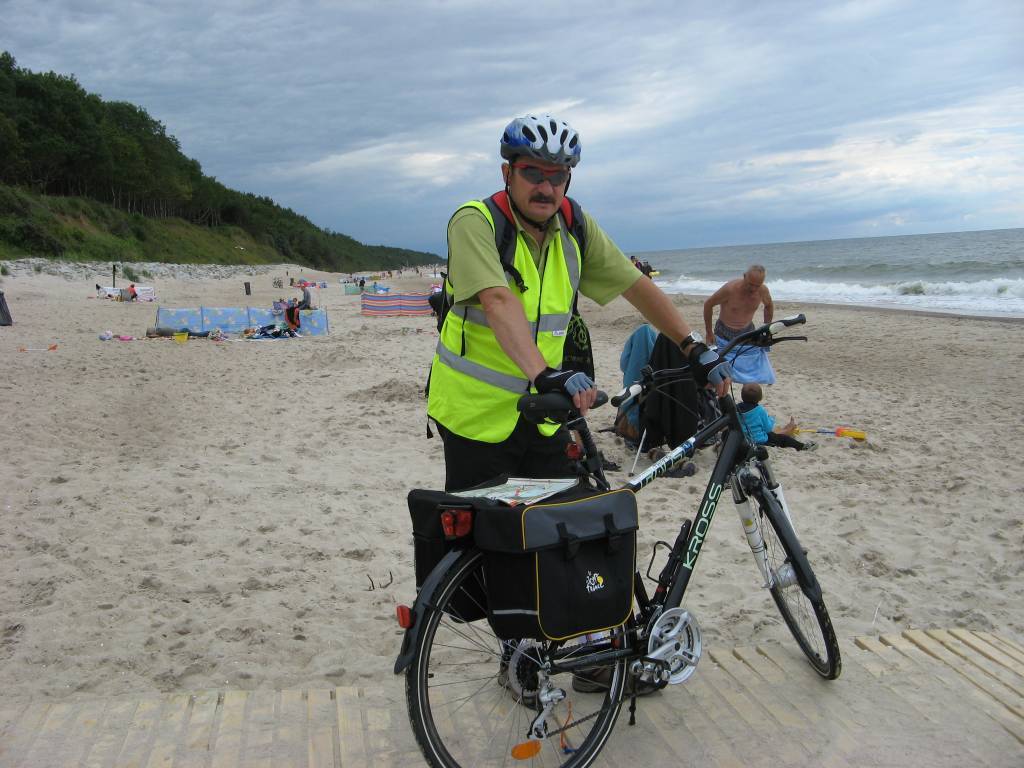
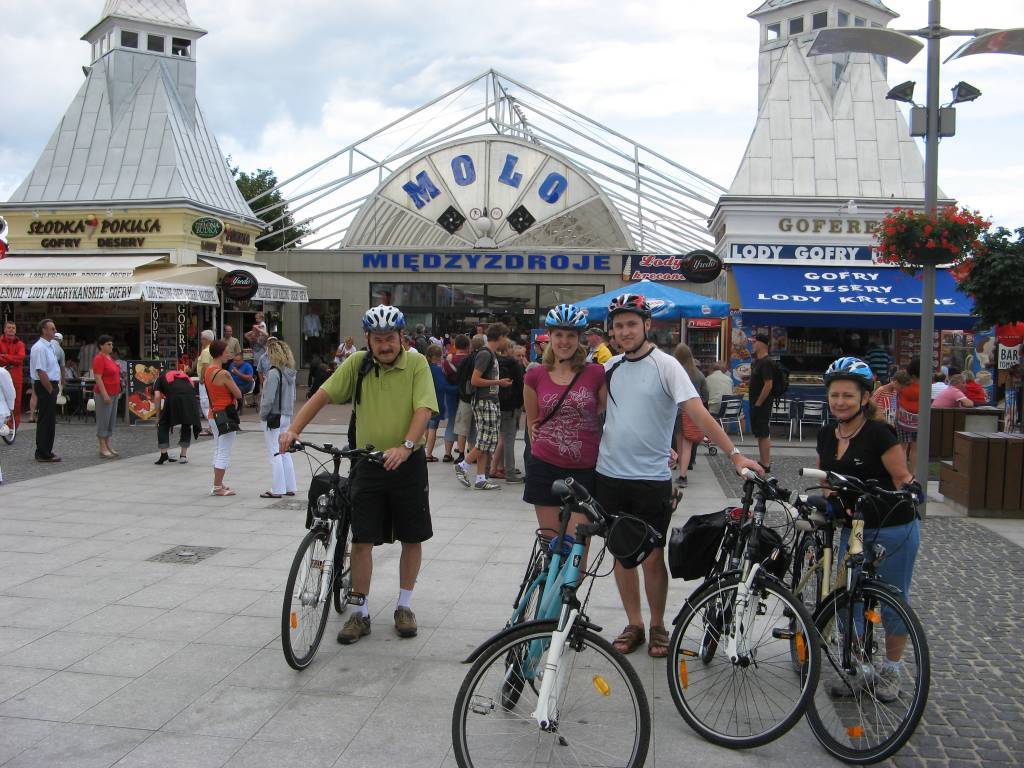
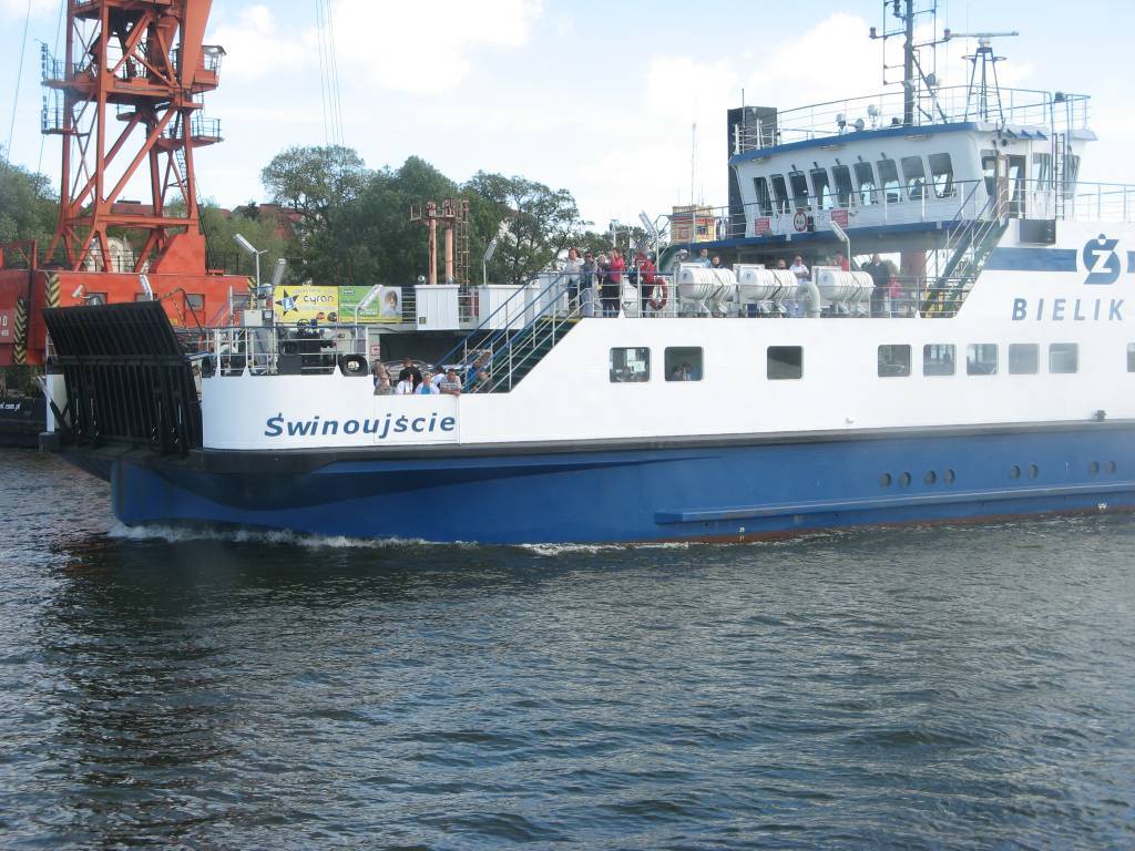
Wolin is a name of the Polish island in the Baltic Sea, just off the Polish coast. Administratively the island belongs to the West Pomeranian Voivodeship in Poland. Most of the island consists of forests and postglacial hills. In the middle is the Wolin National Park. The island is a main tourist attraction of northwestern Poland, and it is crossed by several specially marked tourist trails.
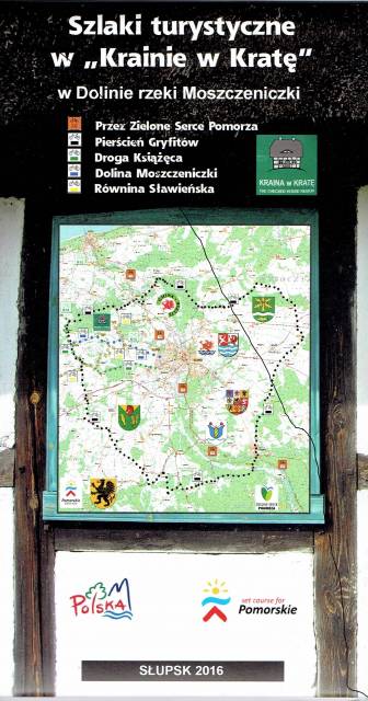
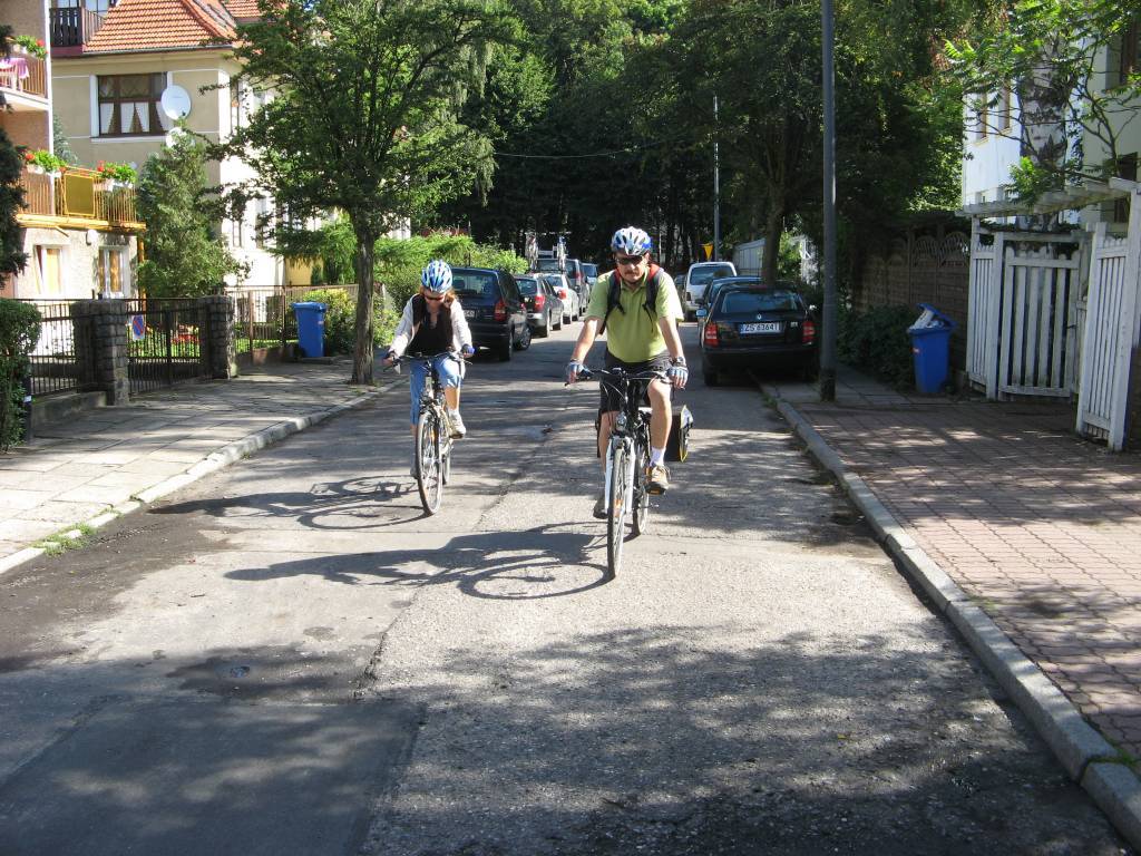
The map presents part of Pomerania in Poland, near the city of Słupsk, where original timber-framed historical architecture is popular, which gives the buildings a characteristic checkered look. The tourist map in detailed scale is perfect for everybody who wants to visit this special region. Cycling trails are marked on the map.