


CHARAKTERYSTYKA TRASY

Komentarze
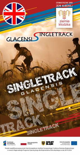
NA TEJ TRASIE PRZYDA CI SIĘ MAPA Z NASZEJ APLIKACJI
The map covers: from Kłodzko to Nysa, north to Strzelin and Dzierżoniów. It contains crucial information for any tourist, including the location of monuments, accommodation facilities, all hiking trails, educational paths, bicycle routes, and the recently fashionable Singletracks. Their lengths are given for easy reading. The map is described on a WGS 84 grid, compatible with Polish navigation systems.

The map covers part of the Lower Silesian Voivodeship in Poland: the area of Nysa city and surrounding municipalities. Lot of information useful for tourists is marked on the map: monuments, accomodation facilities, protected areas, cycling, walking, and canoeing trails. The most interesting places are highlighted with a yellow frame.
This tourist map shows the area of Klodzko Land (the Polish part of the Glacensis Euroregion) with the network of new bicycle routes Singletrack Glacensis, located in the Bardzkie, Złote, and Śnieżnik Mountains. The routes lead from the Wilcza Pass through Bardo, Złoty Stok, Lądek-Zdrój, Stronie Śląskie and Międzygórze to Jodłowo. The map highlights and describes attractions, interesting localities, tourist information points, nature reserves and landscape parks, bicycle services, repair and e-bike charging stations and rest shelters.
The tourist map presents the area of the Kłodzko Land (Polish part of the Glacensis Euroregion) with a network of new cycling trails called Singletrack Glacensis, located in the Bardzkie Mountains, Złote and the Śnieżnik Massif. The trails lead from Wilcza Pass through Bardo, Złoty Stok, Lądek-Zdrój, Stronie Śląskie and Międzygórze to Jodłowa. The map features and describes attractions, interesting towns, tourist information points, reserves and landscape parks, bicycle services, repair stations, e-bike charging stations and rest areas.