category-icon

Gdynia - Kąty Rybackie przez Rezerwat Kormoranów

150 km
13 h 40 min
99 m
Gdynia, Sopot, Gdańsk, Wyspa Sobieszewska, Mikoszewo, Jantar, Stegna, Sztutowo, Kąty Rybackie

CHARAKTERYSTYKA TRASY

2023-06-08
Gdynia, Sopot, Gdańsk, Wyspa Sobieszewska, Mikoszewo, Jantar, Stegna, Sztutowo, Kąty Rybackie
category-icon
150 km
99 m
140 m
Łatwy
13 h 40 min
5/6
Wycieczka rowerowa z Gdyni do Kątów Rybackich i z powrotem. Celem wycieczki był Rezerwat Kormoranów w Kątach Rybackich. Teren niezwykły i ciekawy o tej porze roku. Po drodze kąpiel w morzu dla ochłody (Kąty Rybackie wejście 57 i Mikoszewo wejście 87). Polecam tą wycieczkę.

Komentarze

NA TEJ TRASIE PRZYDA CI SIĘ MAPA Z NASZEJ APLIKACJI

Gdańsk. Plan miasta
MAPA TURYSTYCZNA W APLIKACJI TRASEO
Gdańsk. Plan miasta

Na planie zaznaczono wszystkie aktualne ulice, kina, teatry, ośrodki kultury, urzędy, stacje benzynowe, noclegi, restauracje, układ komunikacji. Oprócz spisu ulic są tu ważniejsze informacje dotyczące Gdańska oraz opis ciekawych miejsc.

Tricity Landscape Park
MAPA TURYSTYCZNA W APLIKACJI TRASEO
Tricity Landscape Park

Tricity Landscape Park is a protected area in northern Poland, in the Pomeranian Voivodeship, close to Gdynia and Gdańsk. Cycling, walking and horse trails are marked on the map, as well as other information useful for tourists.

Vistula Spit Landscape Park
MAPA TURYSTYCZNA W APLIKACJI TRASEO
Vistula Spit Landscape Park

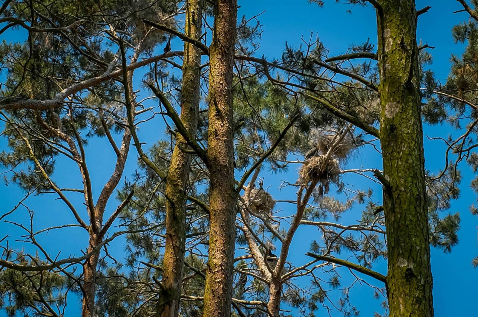
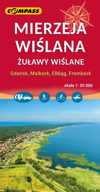
Vistula Spit Landscape Park is a protected area on the Vistula Spit in northern Poland. The Park covers an area of 44.10 square kilometres. It lies within Pomeranian Voivodeship, in Nowy Dwór Gdański County (Krynica Morska, Gmina Sztutowo). Within the Landscape Park are two nature reserves.

Mierzeja Wislana i Zuławy Wislane
MAPA TURYSTYCZNA W APLIKACJI TRASEO
Mierzeja Wislana i Zuławy Wislane
Central Kashubia
MAPA TURYSTYCZNA W APLIKACJI TRASEO
Central Kashubia

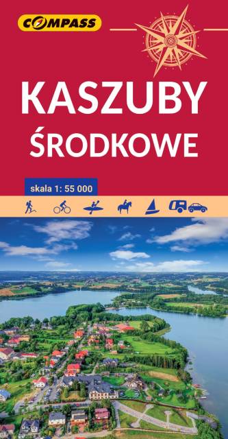
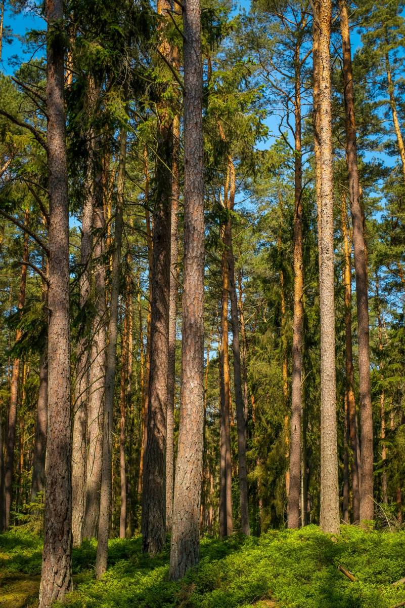
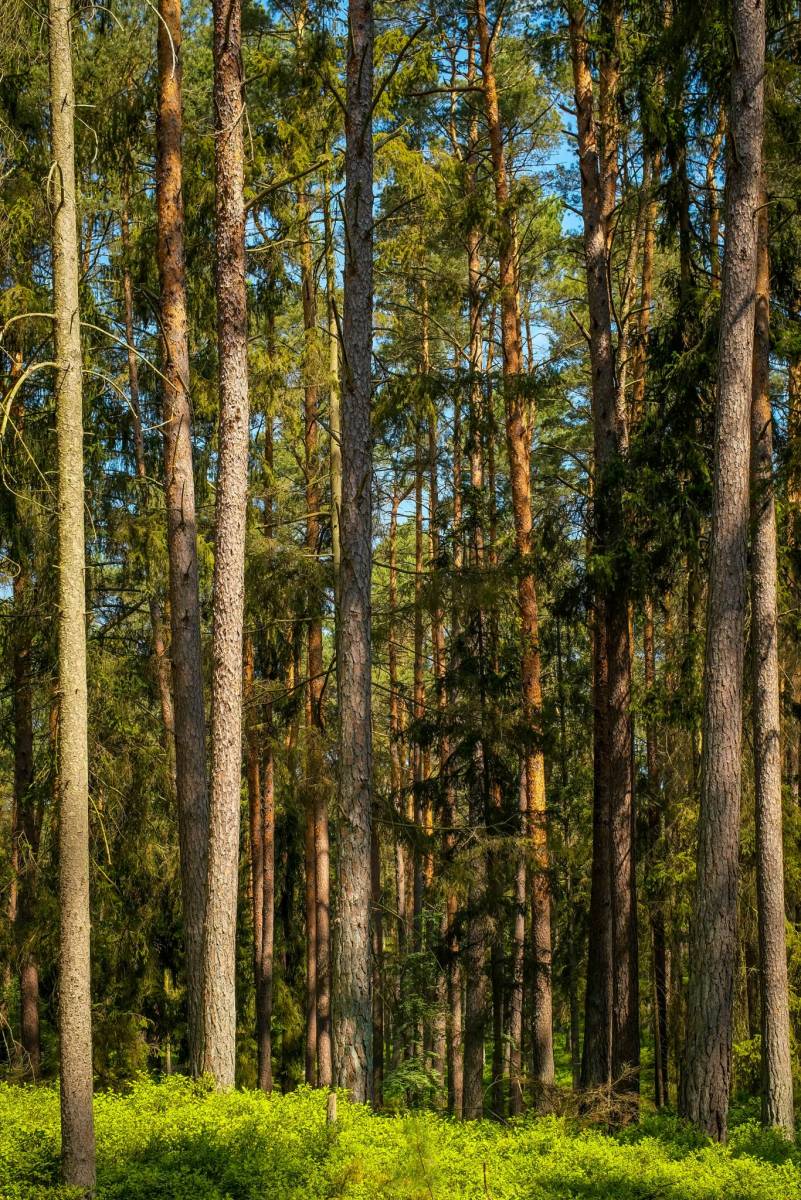
Kashubia is an area in eastern Pomerania, a region of north-western Poland. In this characteristic post-glacial landscape with hills rising up to 656 feet above sea level, there are almost 250 lakes. At the same time, it is also one of the largest forest areas in Poland. Located west of Gdańsk and the mouth of the Vistula river, it is inhabited by members of the Kashubian ethnic group. The map depicts the middle part of the region, the Tuchola Forest and part of the Tricity Landscape Park near Gdańsk.

Okolice Elbląga
MAPA TURYSTYCZNA W APLIKACJI TRASEO
Okolice Elbląga

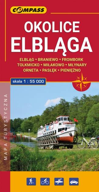
Mapa turystyczna "Elbląg i okolice" w skali 1:55 000, opracowana w ramach bliskiej współpracy z Oddziałem PTTK w Elblągu. Tytuł "Okolice Elbląga" to tylko hasło, bo mapa obejmuje obszar szeroko pojętych okolic Elbląga. Sięga oczywiście po Frombork, Krynicę Morską, Pasłęk, Braniewo, a na wschodzie aż po Pieniężno, Ornetę, Miłakowo. Zatem niezwykle atrakcyjne, ale może niezbyt popularne turystycznie tereny Wysoczyzny Elbląskiej i północnej Warmii.

Miejscowości na trasie