
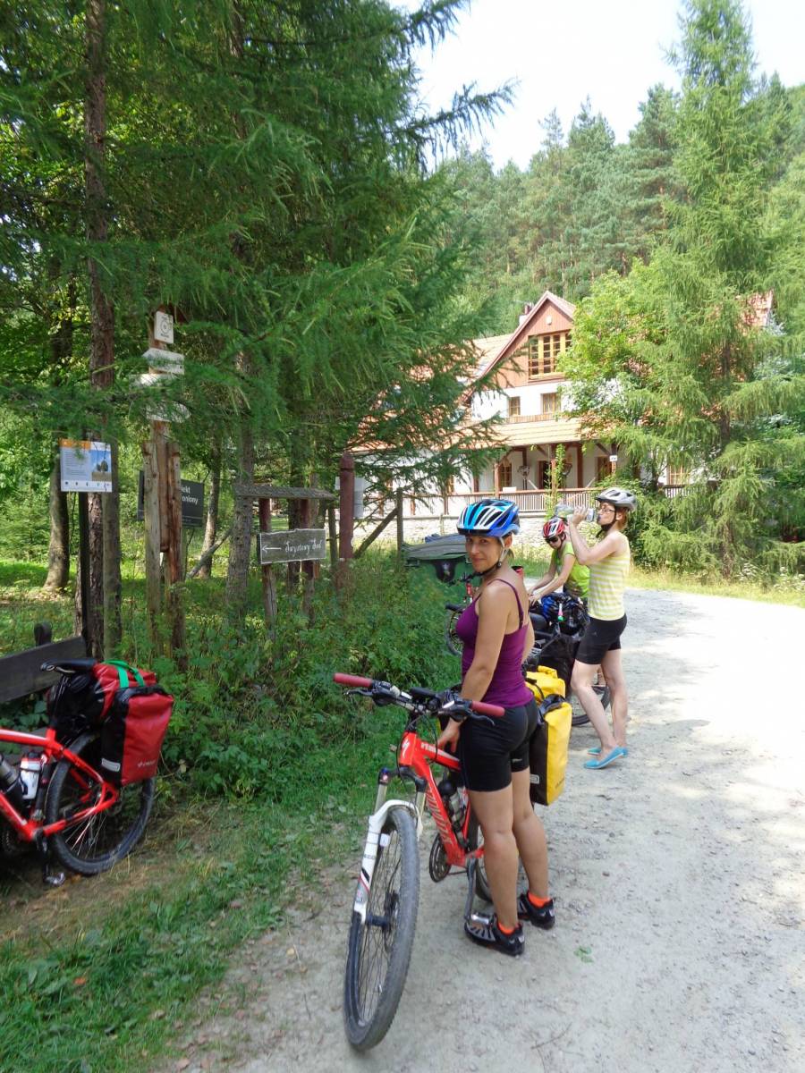
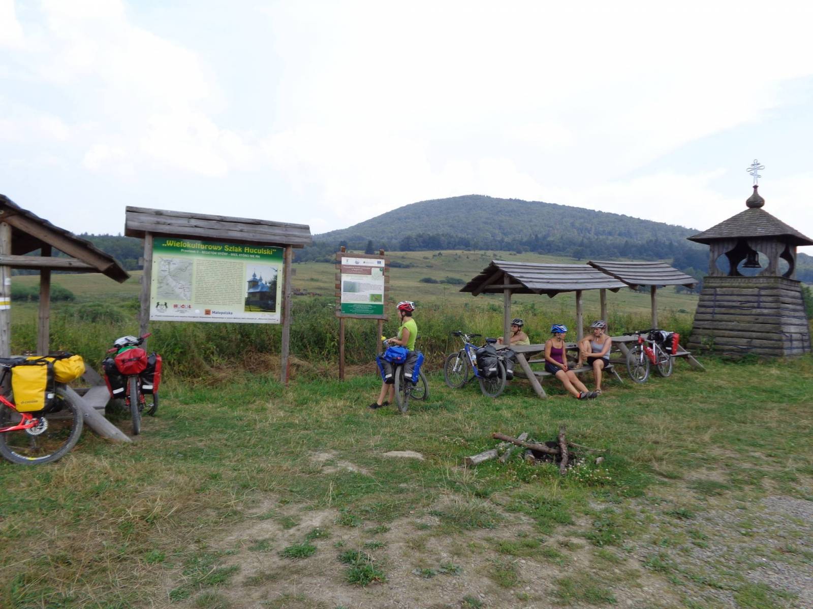

CHARAKTERYSTYKA TRASY

Komentarze
NA TEJ TRASIE PRZYDA CI SIĘ MAPA Z NASZEJ APLIKACJI
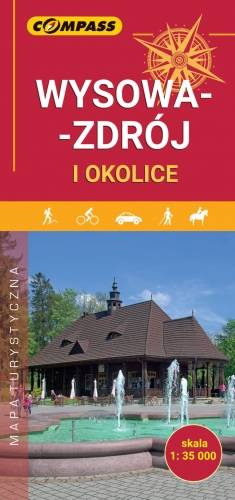
The map presents the nearest surroundings of Wysowa-Zdrój and a plan of the centre in the scale 1:7'500. Wysowa-Zdrój is a small spa town situated in the south-eastern part of Lesser Poland Voivodeship (Małopolska Voivodeship), in Gorlice County, on the border with Slovakia. It is surrounded on all sides by the mountains of the Beskid Niski, the so-called Hańczowskie Mountains. The map additionally contains a tourist guide, including: general information about Wysowa-Zdrój, places and objects worth visiting, suggestions of walks, attractions for children, useful addresses and telephone numbers. The offline map can be purchased from the Traseo app for mobile devices. Year of publication 2019
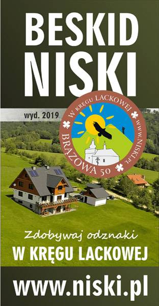
The map of the Low Beskids is intended for all those who come to the mountains to spend their time actively, ride a bike, and earn hiking badges “W KRĘGU LACKOWEJ”, about which you can learn more at www.niski.pl. On the map you will find the biggest tourist and natural attractions of the region. Not only that, but also World War I cemeteries and historic Orthodox churches are marked. Cycling routes are marked out, and hiking routes can be found in Traseo after entering the keyword SIWEJKA and importing the information to the application. Enjoy the moment, rest actively - you can book accommodation at the Siwejka farmhouse. www.siwejka.pl
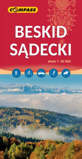
The map in detailed scale depicts part of the Polish Carpathian Mountains, south-east from Krakow: Beskid Sądecki (Sącz Beskid), Little Pieniny, Pieninki and a part of the Central Pieniny - with famous Dunajec River Gorge in Pieniny National Park and the Homole Ravine.

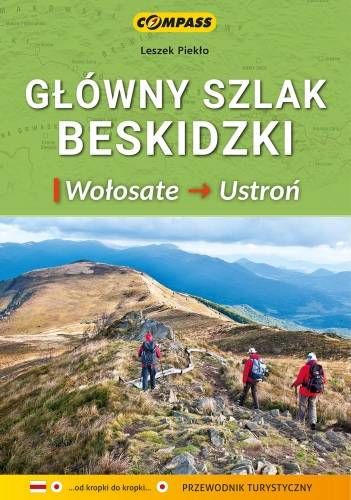
Mapa zawiera praktyczne informacje o Głównym Szlaku Beskidzkim (GSB) – najdłuższym szlaku górskim w Polsce, prowadzącym przez niemal wszystkie pasma beskidzkie (Bieszczady, Beskid Niski, Beskid Sądecki, Gorce, Beskid Żywiecki, Beskid Śląski). Przy mapach i wykresach przedstawione są kilometraże oraz punkty Górskiej Odznaki Turystycznej PTTK w taki sposób, by pomagały turyście niezależnie od tego gdzie rozpoczął wędrówkę. Zawarte zostały również: aktualny przebieg Głównego Szlaku Beskidzkiego, wyczerpujący opis techniczny przebiegu trasy, uwagi praktyczne dotyczące planowania wędrówki, informacje teleadresowe schronisk PTTK, ciekawostki krajoznawcze, przyrodnicze. Mapę offline można zakupić w aplikacji Traseo na urządzenia mobilne. Rok wydania 2021