category-icon

Dąbrowica (żwirownia)

19 km
1 h 7 min
180 m
Jelenia Góra

CHARAKTERYSTYKA TRASY

2015-07-25
Jelenia Góra
category-icon
19 km
180 m
160 m
Łatwy
1 h 7 min
2.1/6
Wypad nad wodę

Komentarze

NA TEJ TRASIE PRZYDA CI SIĘ MAPA Z NASZEJ APLIKACJI

Rudawy Janowickie Mountains
MAPA TURYSTYCZNA W APLIKACJI TRASEO
Rudawy Janowickie Mountains

The Rudawy Janowickie is a mountain range in the Western Sudetes in Poland, in the Lower Silesian Voivodeship. On the map in detailed scale tourist attractions, cycling and walking trails and climbing areas are marked.

Valley of Palaces and Gardens
MAPA TURYSTYCZNA W APLIKACJI TRASEO
Valley of Palaces and Gardens

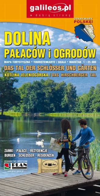
The Valley of Palaces and Gardens is a very detailed tourist map covering the area of Jeleniogórska Valley and a part of Rudawy Janowickie and Kaczawskie Mountains. The map indicates the walking time on individual tourist trails. Year of publication 2019

Karkonoski Park Narodowy
MAPA TURYSTYCZNA W APLIKACJI TRASEO
Karkonoski Park Narodowy

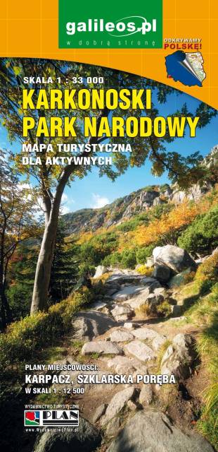
Mapa wydawnictwa Galileos w skali 1:33 000 obejmująca swoim zasięgiem obszar Karkonoskiego Parku Narodowego i okolic, została zaktualizowana w terenie. Karkonoski Park Narodowy to jeden z najbardziej popularnych wśród turystów regionów. Na mapie zaznaczono atrakcje turystyczne i krajoznawcze, a także informacje praktyczne. Oznaczono przebieg szlaków turystycznych: pieszych i rowerowych wraz z czasami przejść. Rok wydania 2020

Dolina Bobru
MAPA TURYSTYCZNA W APLIKACJI TRASEO
Dolina Bobru

Mapa Doliny Bobru zasięgiem obejmująca obszar od Jeleniej Góry do Bolesławca. Na mapie zaznaczono szlaki turystyczne piesze i rowerowe oraz ważniejsze atrakcje turystyczne. 

Karkonosze Mountains
MAPA TURYSTYCZNA W APLIKACJI TRASEO
Karkonosze Mountains

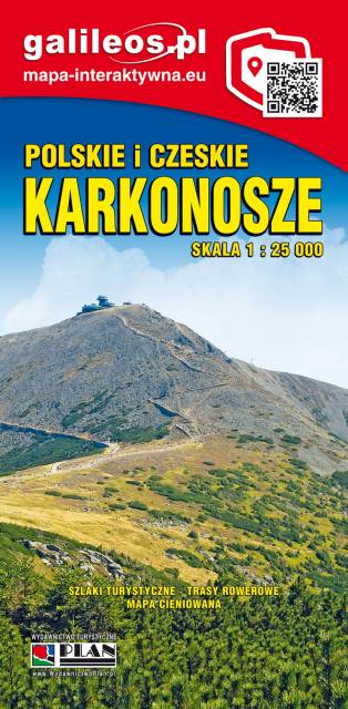
The Giant Mountains (Karkonosze Mountains) are the highest mountain range of the Sudetes mountain system. The highest peak, Sněžka (1 603 m; Polish: Śnieżka), is the Czech Republic's highest point. The range is located in the northern Czech Republic and the south-western Poland. Map range: Rokytnice nad Jizerou to the west, Velka Upa to the south (Czech Republic), Kowary to the east and Jelenia Góra to the north (Poland).

Ziemia Kłodzka - by bike
MAPA TURYSTYCZNA W APLIKACJI TRASEO
Ziemia Kłodzka - by bike

Map of bicycle routes in Ziemia Kłodzka. The most important natural and tourist attractions as well as practical information are marked here. Year of publication 2020

Miejscowości na trasie