
CHARAKTERYSTYKA TRASY

Komentarze
NA TEJ TRASIE PRZYDA CI SIĘ MAPA Z NASZEJ APLIKACJI
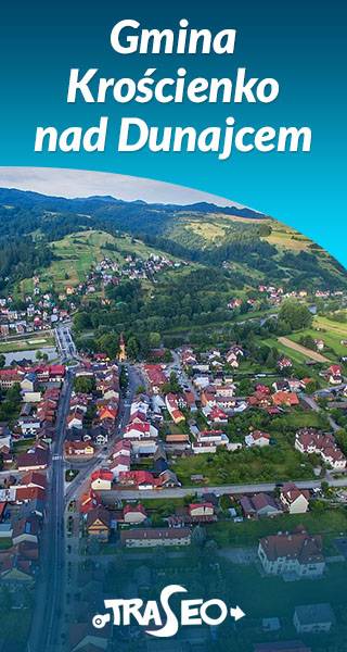
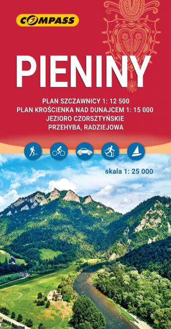
The map of the commune of Krościenko nad Dunajcem covers the area of three mountain ranges: Pieniny, Gorce and Radziejowa Range of Beskid Sądecki. Hiking trails have been marked here along with the given time and mileage. With tourists in mind, locations of monuments and tourist attractions were also marked. With tourists in mind, locations of monuments and tourist attractions were also marked. The map contains historical paths around Krościenko nad Dunajcem as well as routes to 11 mushrooms, which are situated in distinct landscape points of the commune.
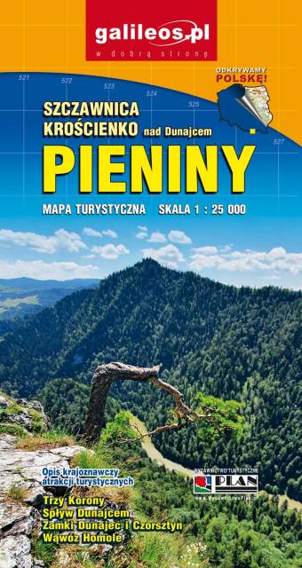
Mapa Pienin wydawnictwa Galileos w skali 1:25 000, dodatkowo obejmuje swym zasięgiem Jezioro Czorsztyńskie. Mapa została zaktualizowana w terenie, zaznaczono na niej szlaki turystyczne, zarówno rowerowe jak i piesze. Mapa jest w wresji cyfrowej, po zakupie będzie możliwość skorzystania z niej w aplikacji mobilnej Traseo. Na mapie oznaczone zostały czasy przejść na kolejnych odcinkach szlaków rowerowych i pieszych. Rok wydania 2021
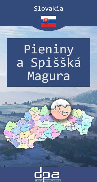
The map presents slovak part of Pieniny Mountains and Spiššká Magura, which is situated north-east from Tatra Mountains. The map range: Spišská Belá to the south, Ždiar to the west, Ruská Voľa nad Popradom to the east and Polish-Slovak border to the north.
Published: 2016/2017