

CHARAKTERYSTYKA TRASY

Komentarze
NA TEJ TRASIE PRZYDA CI SIĘ MAPA Z NASZEJ APLIKACJI
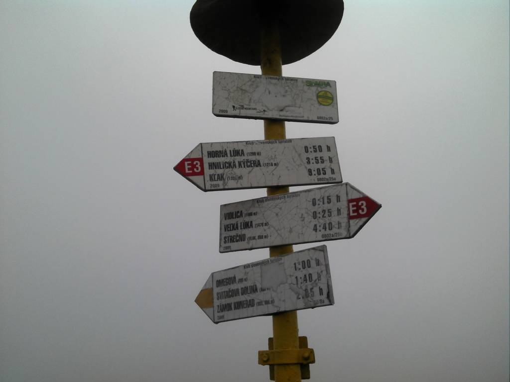
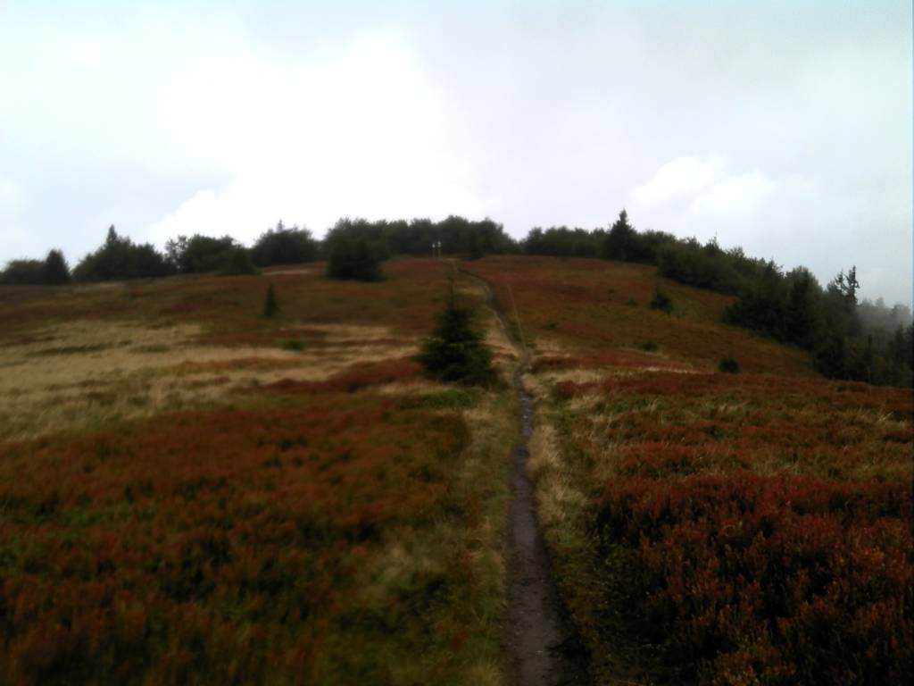
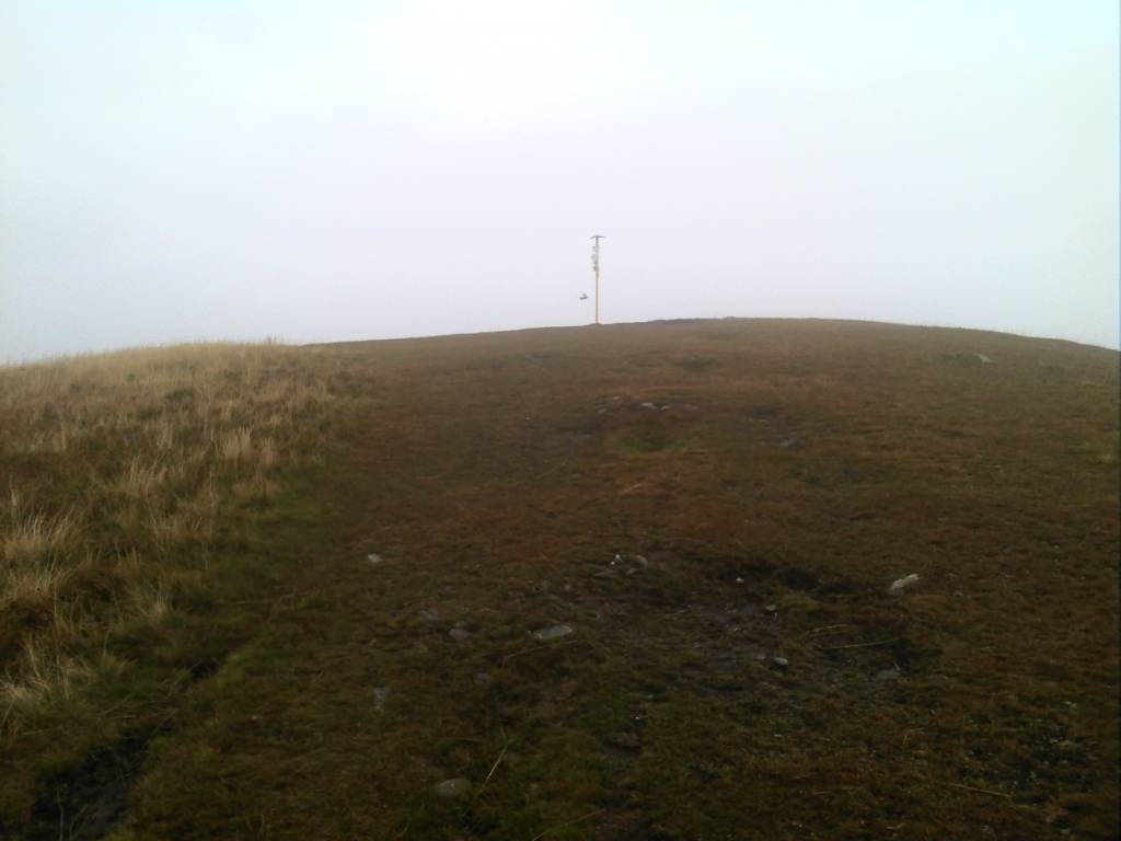
The Great Fatra (or Greater Fatra is a mountain range in the Western Carpathians in Slovakia. It lie to the southwest of the better known Malá (Lesser) Fatra mountains and are less developed, as well as, contrary to the name, being lower. The highest mountain is Ostredok at 1,592 m. Other notable summits of the largest Hôľna Fatra part are Krížna at 1,574.3 m and Ploská at 1,532.1 m, where the main ridge divides into two. Nearly 90% of the area is covered by forests. Most of the area was protected by the Veľká Fatra Protected Landscape Area since 1973, and the most valuable parts are included in the Veľká Fatra National Park since 2002. The rest of the former protected landscape area serves as a buffer zone now. There are several other tourist and skiing resorts in the range, e.g. one of the largest ski resorts in Slovakia - Skipark Ružomberok and Donovaly. The ruins of Blatnický and Sklabinský castles are located in this area. Also, the traditional architecture of Vlkolínec (a UNESCO's World Heritage Site) and Liptovské Revúce and the Ľubochňa and Turčianske Teplice spas can be found here.
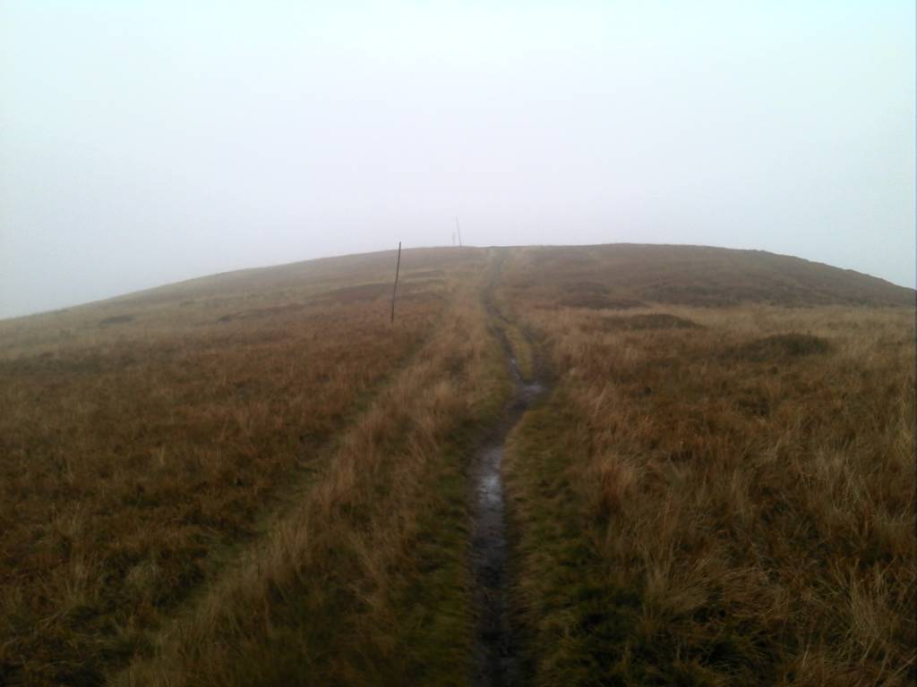
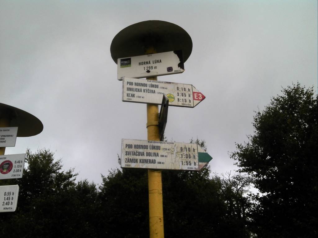
Malá Fatra is a mountain range in the north-west of Central Slovakia. The highest peak is Veľký Kriváň at 1,709 m. With many hiking trails and ski resorts the Malá Fatra range is one of the most popular tourist destination in Slovakia. The Dierový potok stream created a complex of canyons, waterfalls and cascades in that area. Šútovo Waterfall is the highest waterfall in Malá Fatra and has a vertical drop of 38 m. Popular centres for winter sports are Vrátna dolina and Štefanová. Other tourism centres are the villages of Terchová, where the Slovak national hero Juraj Jánošík was born and Zázrivá, where the traditional Slovak sheep cheese delicacy known as korbáčiky is made. One of the most popular ski areas in Slovakia outside the Tatras is the Martinské hole resort situated between the Veľká lúka Mountain and the town of Martin. The map also presents The Choč Mountains with the highest peak Veľký Choč at 1 611 metres above sea level. Veľký Choč is well-known because of a beautiful panoramic view spreading from the peak. Year: 2016 / 217.
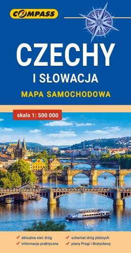
Mapa samochodowa Słowacji i Czech zawiera: aktualną sieć autostrad, dróg ekspresowych i głównych, z podziałem na dwupasmowe i jednopasmowe; drogi w budowie, numerację dróg oraz kilometraż. Na mapie zaznaczono: przejścia graniczne, Autostradowe Miejsca Obsługi Podróżnych, wybrane stacje benzynowe, parkingi i promy wodne, porty lotnicze, obszary leśne, parki narodowe, uzdrowiska, większe ośrodki narciarskie, obiekty na Liście UNESCO. Legenda w językach: polskim, angielskim, czeskim i słowackim.
Mapa dodatkowo zawiera:
- schemat dróg płatnych na Słowacji i w Czechach;
- wykaz węzłów na autostradach i drogach ekspresowych na Słowacji;
- plany Pragi i Bratysławy;
- schemat metra w Pradze;
- informacje praktyczne dla podróżujących samochodem po Słowacji i Czechach (m.in.: wybrane przepisy drogowe, wymagane dokumenty, obowiązkowe wyposażenie samochodu, rodzaje winiet).
Mapę offline można zakupić w aplikacji Traseo na urządzenia mobilne. Rok wydania 2020