


Stan ZagNa Traseo od kwietnia 2017
CHARAKTERYSTYKA TRASY
2017-11-12
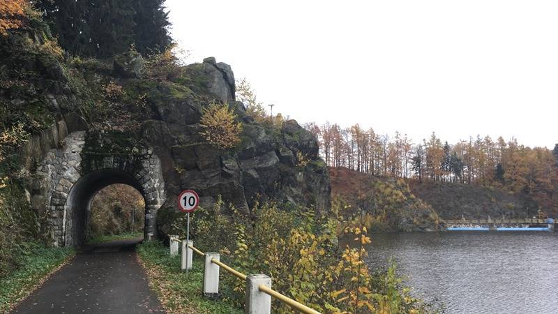
Gryfów Śląski

147 km
871 m
722 m
Średni
5 h 30 min
3.9/6
Komentarze
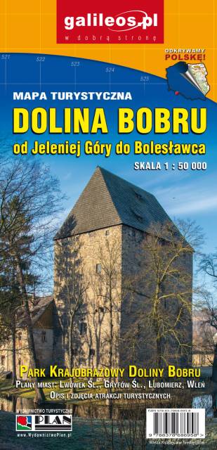
NA TEJ TRASIE PRZYDA CI SIĘ MAPA Z NASZEJ APLIKACJI

MAPA TURYSTYCZNA W APLIKACJI TRASEO
Jizera Mountains
Jizera Mountains are part of the Western Sudetes on the border between the Czech Republic and Poland. The map range: Liberec to the west (Czech Republic), Gryfów Śląski to the north, Dolina Bobru Landscape Park to the east. Szklarska Poręba, Jakuszyce and Harrachov resorts are also on the map.

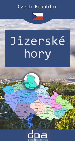
MAPA TURYSTYCZNA W APLIKACJI TRASEO
Jizera Mountains
Jizera Mountains or Izera Mountains are part of the Western Sudetes on the border between the Czech Republic and Poland. The range got its name from the Jizera River, which rises at the southern base of the Smrk massif. The range stretches from the Lusatian Mountains (Zittau Mountains) in the northwest to the Krkonoše in the southeast. The highest peak is Wysoka Kopa (1,127 m) near the town of Szklarska Poręba in Poland. Neverteheless, a better-known mountain is Smrk (1124 m), with a recently rebuilt look-out tower. The Jizera Mountains are an attractive location for winter sports, cycling and hiking. The centre for both downhill skiing and ski run is Bedřichov.