
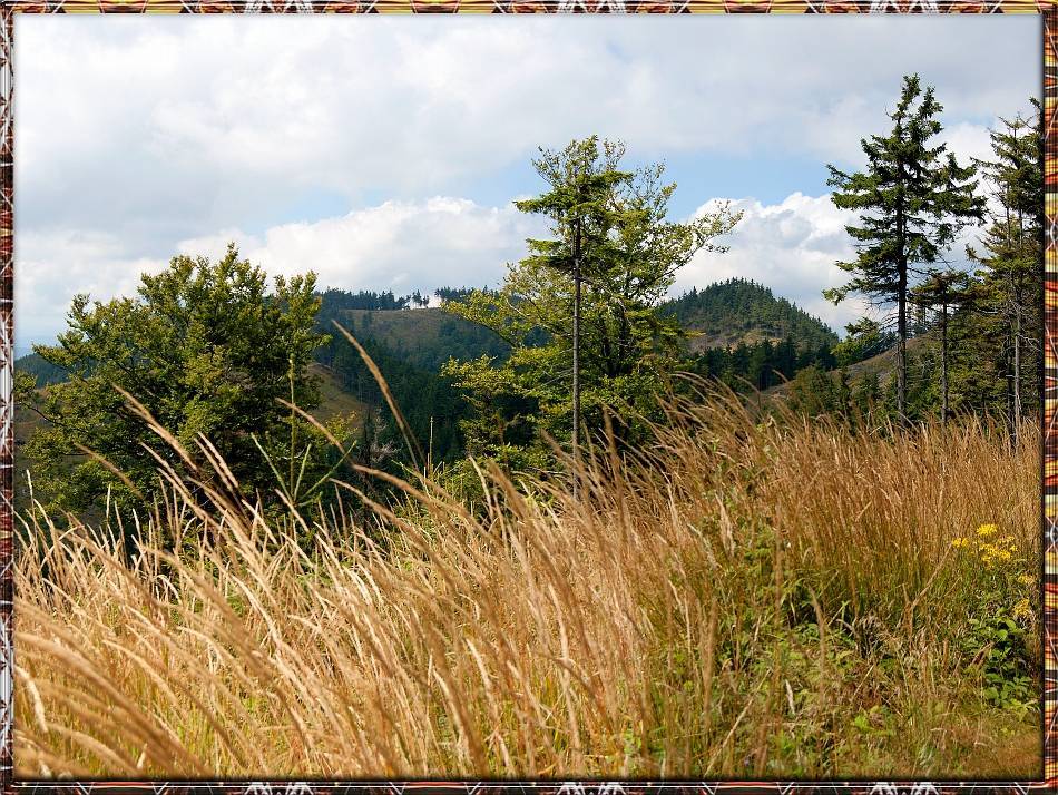
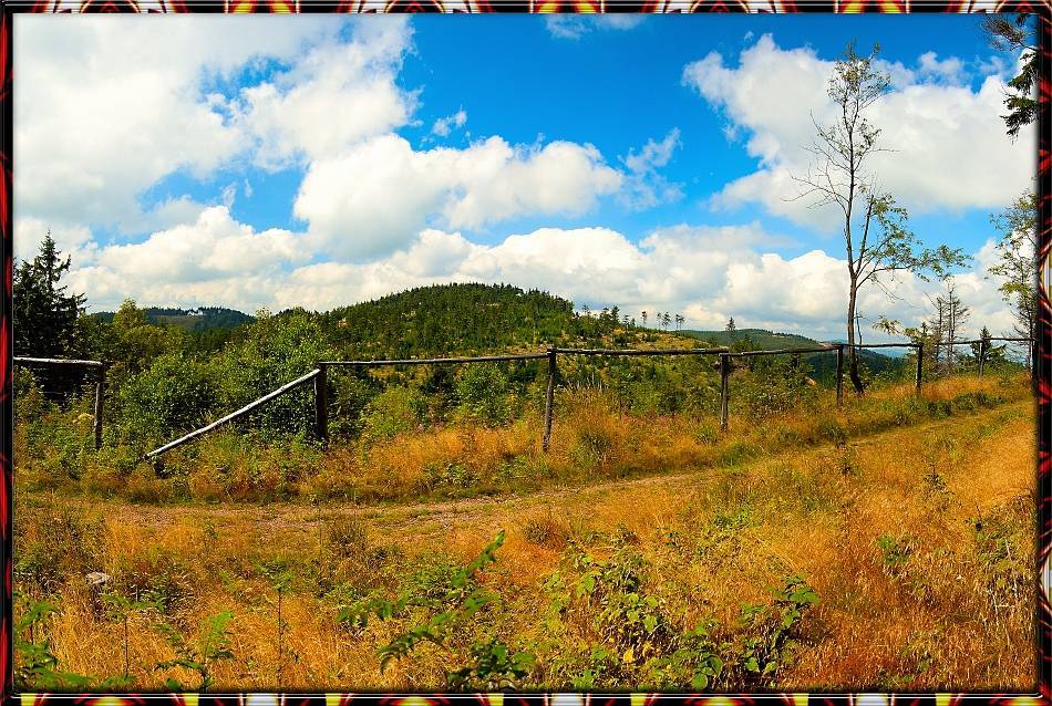


CHARAKTERYSTYKA TRASY

Komentarze
NA TEJ TRASIE PRZYDA CI SIĘ MAPA Z NASZEJ APLIKACJI
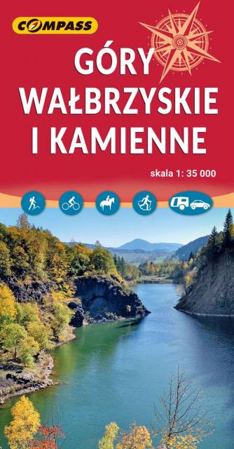
The Wałbrzyskie Mountains and The Stone Mountains are mountain ranges in the Central Sudetes on the border of the Czech Republic and Poland. The map also presents Adršpašskoteplické skály in Czech Republic, which is famous tourist destination.
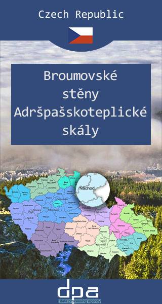
The Broumovsko Region and Adršpach-Teplice Rocks are an unusual set of sandstone formations in northeastern Bohemia, Czech Republic. The Adršpach-Teplice Rocks have been protected as a national nature reserve since 1933, and since 1991 the whole adjacent region of Broumovsko has enjoyed the status of protected landscape area. Tourists may visit the rocks via a number of marked trails. The area is a popular destination for rock climbers. In recent years, it has become a focus for the high-risk climbing-related sport of rock jumping. The area is also one of the largest permanent breeding sites of peregrine falcon in Europe, as they are protected here under federal law. Some areas have been designated off limits to climbers and hikers to make sure the birds aren't disturbed.
Update: 2016/2017

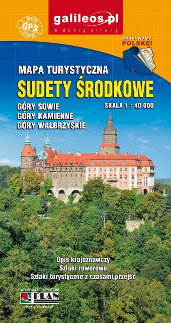
An updated tourist map of the Central Sudety Mountains, with marked hiking and cycling trails. The map includes, among others, the Owl Mountains, the Wałbrzyskie Mountains and Foothills, the Kamienne Mountains and a large part of the Broumovska Vrchovina with the rock towns of Aderszpasko Teplickie Rocks. The map includes tourist attractions and practical information. Year of publication 2020
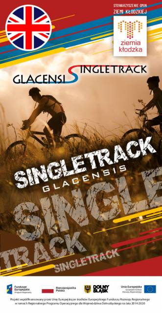
The tourist map presents the area of the Kłodzko Land (Polish part of the Glacensis Euroregion) with a network of new cycling trails called Singletrack Glacensis, located in the Bardzkie Mountains, Złote and the Śnieżnik Massif. The trails lead from Wilcza Pass through Bardo, Złoty Stok, Lądek-Zdrój, Stronie Śląskie and Międzygórze to Jodłowa. The map features and describes attractions, interesting towns, tourist information points, reserves and landscape parks, bicycle services, repair stations, e-bike charging stations and rest areas.
This tourist map shows the area of Klodzko Land (the Polish part of the Glacensis Euroregion) with the network of new bicycle routes Singletrack Glacensis, located in the Bardzkie, Złote, and Śnieżnik Mountains. The routes lead from the Wilcza Pass through Bardo, Złoty Stok, Lądek-Zdrój, Stronie Śląskie and Międzygórze to Jodłowo. The map highlights and describes attractions, interesting localities, tourist information points, nature reserves and landscape parks, bicycle services, repair and e-bike charging stations and rest shelters.