

CHARAKTERYSTYKA TRASY

Komentarze
NA TEJ TRASIE PRZYDA CI SIĘ MAPA Z NASZEJ APLIKACJI
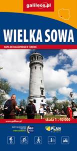
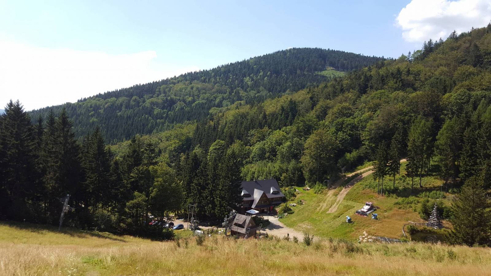
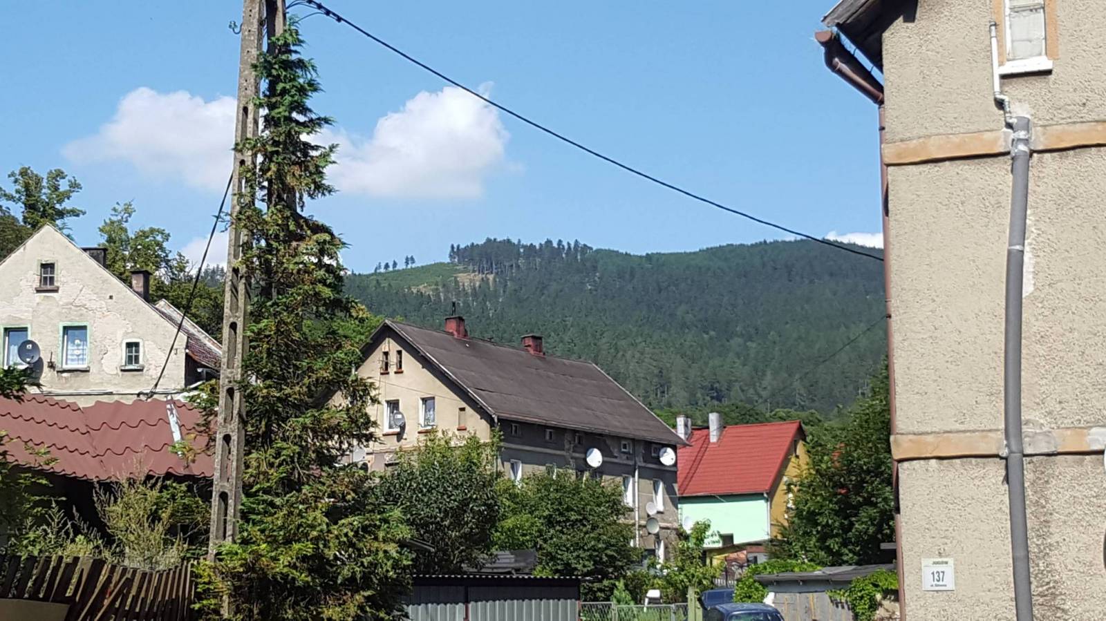
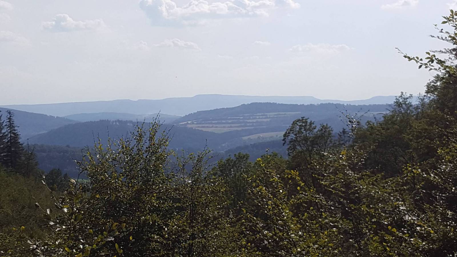
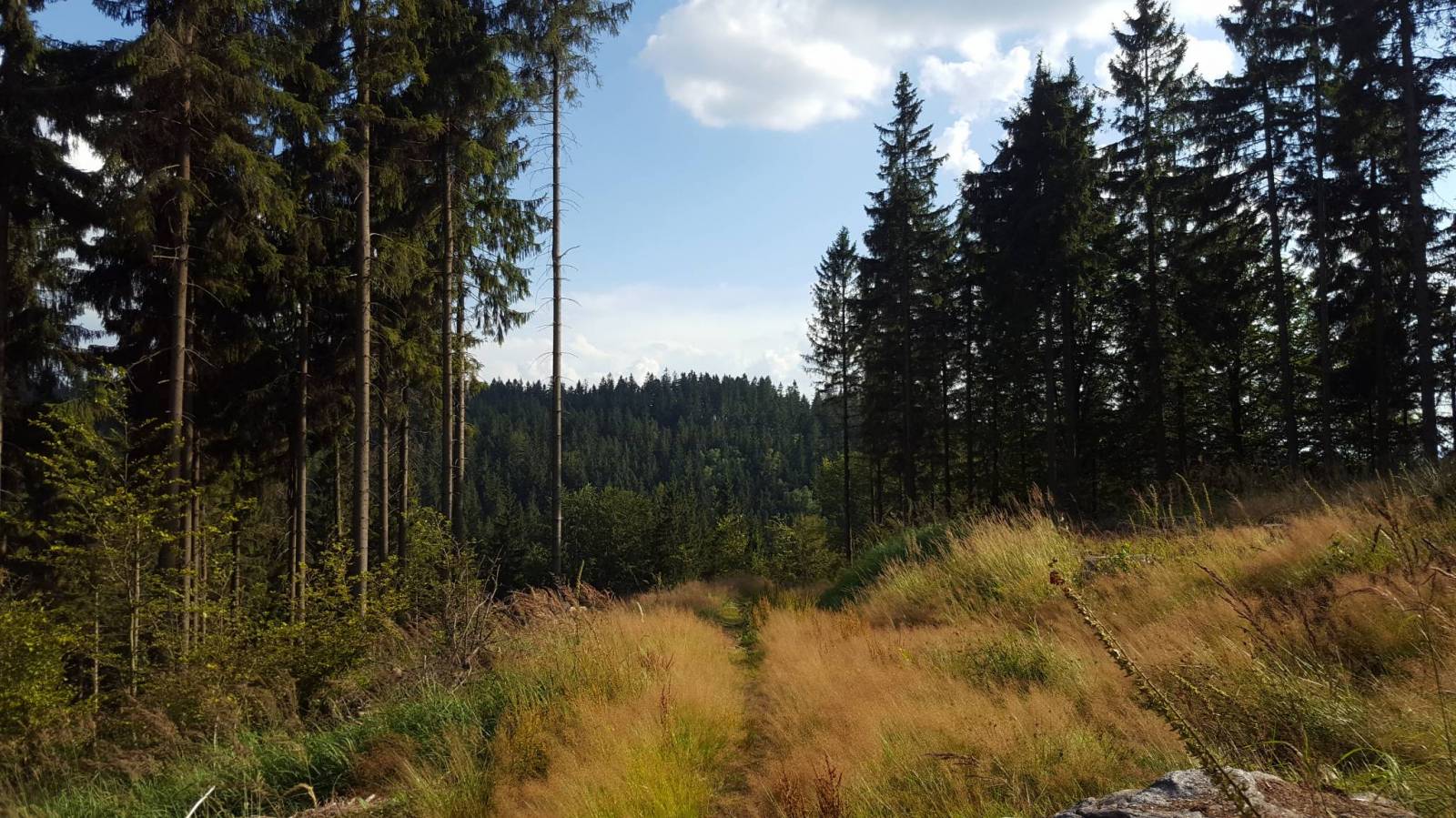
Wielka Sowa to najbadziej popularny i najliczniej odwiedzany szczyt w Górach Sowich, jednocześnie jest to również najwyższy szczyt tego pasma Sudetów - 1015 m. n.p.m. Na szczycie Wielkiej Sowy odbywają się różne imprezy, zloty czy pikniki. Mapa obejmuje teren ograniczony miejscowościami: Walim, Pieszyce, Dzierżoniów, Jugów. Zaznaczono na niej aktualny przebieg szlaków turystycznych pieszych i rowerowych z ich długościami. Na mapie naniesiono ośrodki noclegowe i restauracje. Siatka geograficzna zgodna z GPS oparta na układzie WGS-84.
Mapa została przygotowana tylko dla urządzeń cyfrowych, nie ma odpowiednika w wersji papierowej.
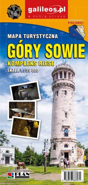
Mapa Gór Sowich Wydawnictwa Galileos z aktualnym przebiegiem szlaków turystycznych, zarówno pieszych jak i rowerowych. Wraz z czasem przejść. Zasięg mapy na północy wyznacza Świdnica, na wschodzie Bielawa, na południu Srebrna Góra i Nowa Ruda, na zachodzie Jedlina Zdrój. Rok wydania 2020

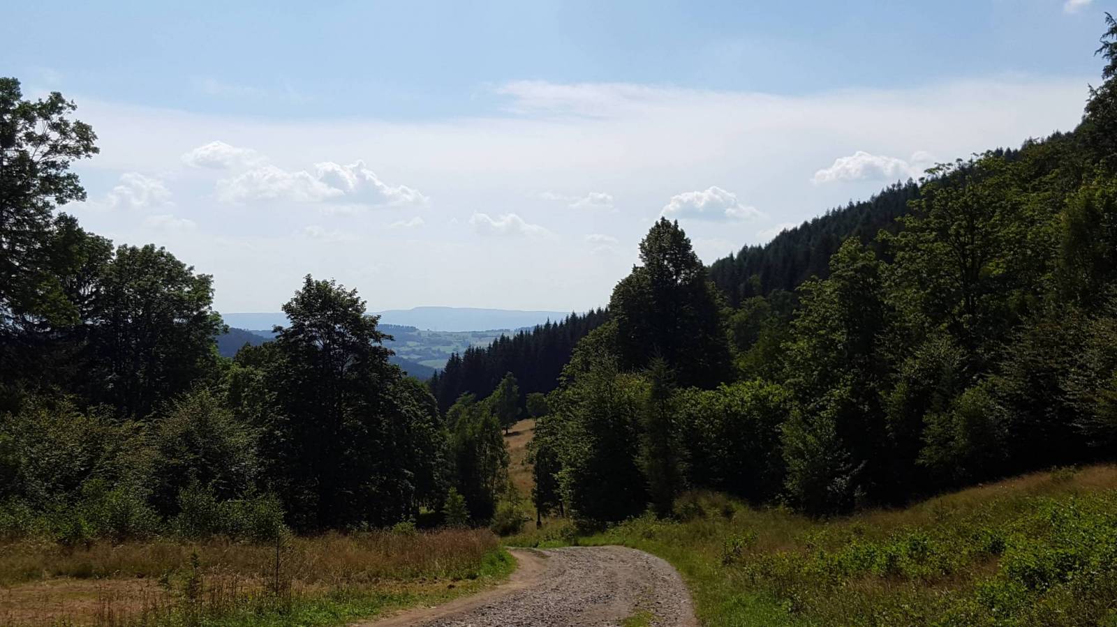
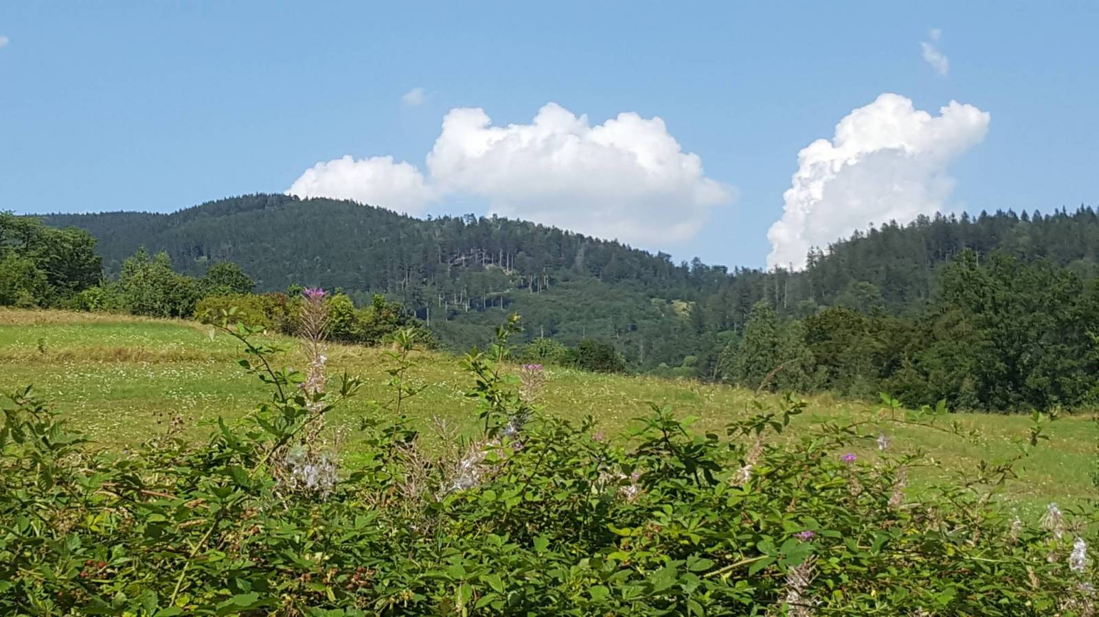
The Owl Mountains (Polish: Góy Sowie, Czech: Soví hory) are a mountain range in the Central Sudetes in south-western Poland. They run between the historic Lower Silesian region and Kłodzko Land. The highest peaks are Wielka Sowa (1,014 m) and Kalenica (964 m) with its viewing tower. The range includes a protected area called The Owl Mountains Landscape Park. The mountains are covered by a network of tourist trails, marked on the map.

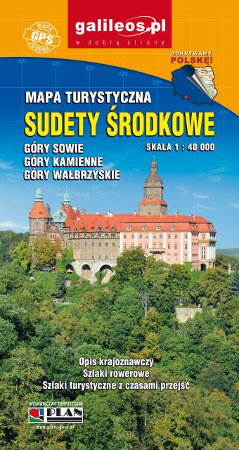
An updated tourist map of the Central Sudety Mountains, with marked hiking and cycling trails. The map includes, among others, the Owl Mountains, the Wałbrzyskie Mountains and Foothills, the Kamienne Mountains and a large part of the Broumovska Vrchovina with the rock towns of Aderszpasko Teplickie Rocks. The map includes tourist attractions and practical information. Year of publication 2020
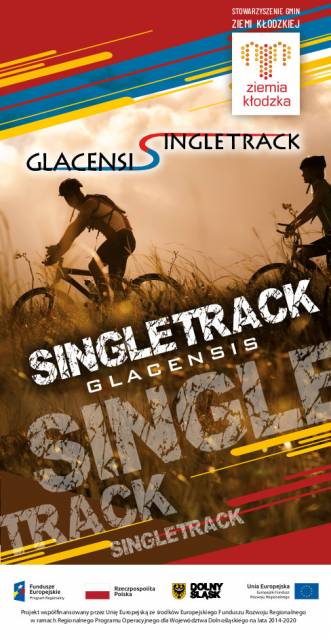
This tourist map shows the area of Klodzko Land (the Polish part of the Glacensis Euroregion) with the network of new bicycle routes Singletrack Glacensis, located in the Bardzkie, Złote, and Śnieżnik Mountains. The routes lead from the Wilcza Pass through Bardo, Złoty Stok, Lądek-Zdrój, Stronie Śląskie and Międzygórze to Jodłowo. The map highlights and describes attractions, interesting localities, tourist information points, nature reserves and landscape parks, bicycle services, repair and e-bike charging stations and rest shelters.