


CHARAKTERYSTYKA TRASY

Komentarze
NA TEJ TRASIE PRZYDA CI SIĘ MAPA Z NASZEJ APLIKACJI
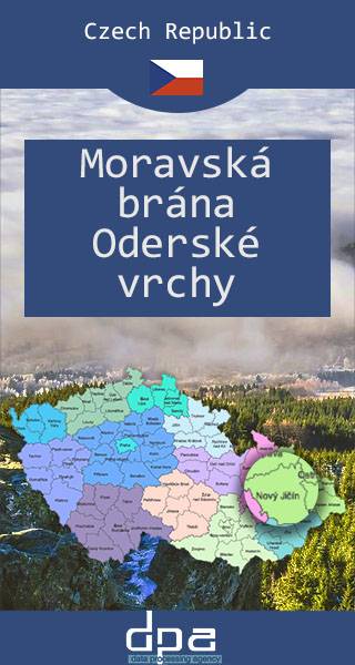
The Moravian Gate is a geomorphological feature in the Moravian region of the Czech Republic. It is formed by the depression between the Carpathian Mountains in the east and the Sudetes in the west. Because of its low altitude, the Moravian Gate has since ancient times been a natural pass between the Sudetes (Oderské vrchy range, the highest peak is Fidlův kopec, 680 metres) in the northwest and the Western Carpathians (Moravian-Silesian Beskids) in the southeast. Here ran the most important trade routes, such as the Amber Road from the Baltic to the Adriatic coast, as well as roads from the Czech lands to Upper Silesia and Lesser Poland. Today the D1 highway leads from the Moravian capital Brno to Ostrava, the centre of the Moravian-Silesian Region. Further to the north the road reaches the border with Poland near the town of Racibórz and Wodzisław Śląski. The Austrian Northern Railway built in 1847 from Vienna to Bohumín also traverses the Moravian Gate.
Published: 2016/2017
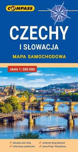
Mapa samochodowa Słowacji i Czech zawiera: aktualną sieć autostrad, dróg ekspresowych i głównych, z podziałem na dwupasmowe i jednopasmowe; drogi w budowie, numerację dróg oraz kilometraż. Na mapie zaznaczono: przejścia graniczne, Autostradowe Miejsca Obsługi Podróżnych, wybrane stacje benzynowe, parkingi i promy wodne, porty lotnicze, obszary leśne, parki narodowe, uzdrowiska, większe ośrodki narciarskie, obiekty na Liście UNESCO. Legenda w językach: polskim, angielskim, czeskim i słowackim.
Mapa dodatkowo zawiera:
- schemat dróg płatnych na Słowacji i w Czechach;
- wykaz węzłów na autostradach i drogach ekspresowych na Słowacji;
- plany Pragi i Bratysławy;
- schemat metra w Pradze;
- informacje praktyczne dla podróżujących samochodem po Słowacji i Czechach (m.in.: wybrane przepisy drogowe, wymagane dokumenty, obowiązkowe wyposażenie samochodu, rodzaje winiet).
Mapę offline można zakupić w aplikacji Traseo na urządzenia mobilne. Rok wydania 2020