category-icon

2018.05.20 - Bunkier Sowiniec

29 km
2 h 55 min
306 m
Łaziska Górne, Wyry

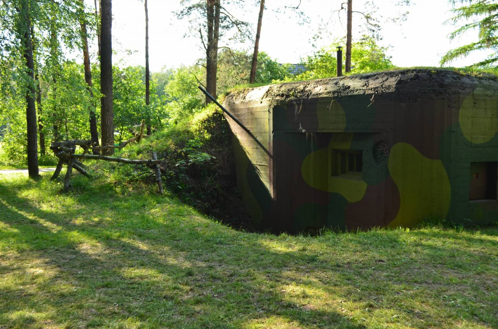
CHARAKTERYSTYKA TRASY

2018-05-20
Łaziska Górne, Wyry
category-icon
29 km
306 m
303 m
Łatwy
2 h 55 min
2.1/6

Komentarze

NA TEJ TRASIE PRZYDA CI SIĘ MAPA Z NASZEJ APLIKACJI

Area of Tychy and Pszczyna
MAPA TURYSTYCZNA W APLIKACJI TRASEO
Area of Tychy and Pszczyna

The map range: Oświęcim to the east, Żory to the west, Goczałkowickie Lake to the south. The map presents information useful for tourists, walking and cycling trails, tourist attractions. The most interesting places are highlighted with a yellow frame.

Oświęcim Land. Carp Valley
MAPA TURYSTYCZNA W APLIKACJI TRASEO
Oświęcim Land. Carp Valley

The map presents the region in western Lesser Poland and eastern Upper Silesia. The map range: Pszczyna to the west, Alwernia and Wadowice to the east, Chrzanów to the north and Bielsko-Biała to the south.

Published: 2017

Upper Silesian Metropolitan Area
MAPA TURYSTYCZNA W APLIKACJI TRASEO
Upper Silesian Metropolitan Area
The map in detailed scale presents part of Upper Silesia - historical and geographical region situated in southern Poland. The Upper Silesian metropolitan area lies within the Upper Silesian Coal Basin. It is characterized by a rich tradition of folklore, many industrial monuments, and some green areas. Cycling, walking and didactic trails are marked on the map, as well as other interesting information, e.g. historical borders of Polnad - from 1914 and 1939. The map range: Tarnowskie Góry to the north, Tychy to the south, Gliwice to the west and Jaworzno to the east.
Czechy i Słowacja – mapa samochodowa
MAPA TURYSTYCZNA W APLIKACJI TRASEO
Czechy i Słowacja – mapa samochodowa

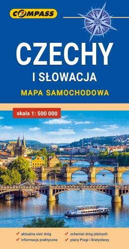
Mapa samochodowa Słowacji i Czech zawiera: aktualną sieć autostrad, dróg ekspresowych i głównych, z podziałem na dwupasmowe i jednopasmowe; drogi w budowie, numerację dróg oraz kilometraż. Na mapie zaznaczono: przejścia graniczne, Autostradowe Miejsca Obsługi Podróżnych, wybrane stacje benzynowe, parkingi i promy wodne, porty lotnicze, obszary leśne, parki narodowe, uzdrowiska, większe ośrodki narciarskie, obiekty na Liście UNESCO. Legenda w językach: polskim, angielskim, czeskim i słowackim.
Mapa dodatkowo zawiera:
- schemat dróg płatnych na Słowacji i w Czechach;
- wykaz węzłów na autostradach i drogach ekspresowych na Słowacji;
- plany Pragi i Bratysławy;
- schemat metra w Pradze;
- informacje praktyczne dla podróżujących samochodem po Słowacji i Czechach (m.in.: wybrane przepisy drogowe, wymagane dokumenty, obowiązkowe wyposażenie samochodu, rodzaje winiet).
Mapę offline można zakupić w aplikacji Traseo na urządzenia mobilne. Rok wydania 2020

Miejscowości na trasie