

CHARAKTERYSTYKA TRASY

Komentarze
NA TEJ TRASIE PRZYDA CI SIĘ MAPA Z NASZEJ APLIKACJI
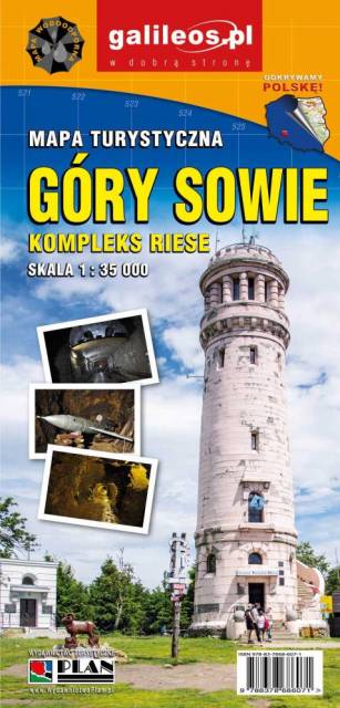
Mapa Gór Sowich Wydawnictwa Galileos z aktualnym przebiegiem szlaków turystycznych, zarówno pieszych jak i rowerowych. Wraz z czasem przejść. Zasięg mapy na północy wyznacza Świdnica, na wschodzie Bielawa, na południu Srebrna Góra i Nowa Ruda, na zachodzie Jedlina Zdrój. Rok wydania 2020

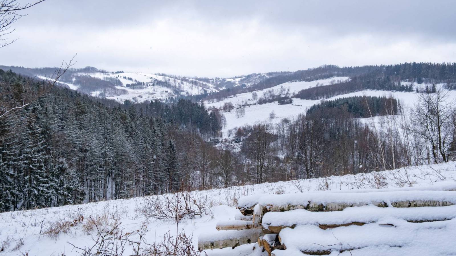
The Owl Mountains (Polish: Góy Sowie, Czech: Soví hory) are a mountain range in the Central Sudetes in south-western Poland. They run between the historic Lower Silesian region and Kłodzko Land. The highest peaks are Wielka Sowa (1,014 m) and Kalenica (964 m) with its viewing tower. The range includes a protected area called The Owl Mountains Landscape Park. The mountains are covered by a network of tourist trails, marked on the map.
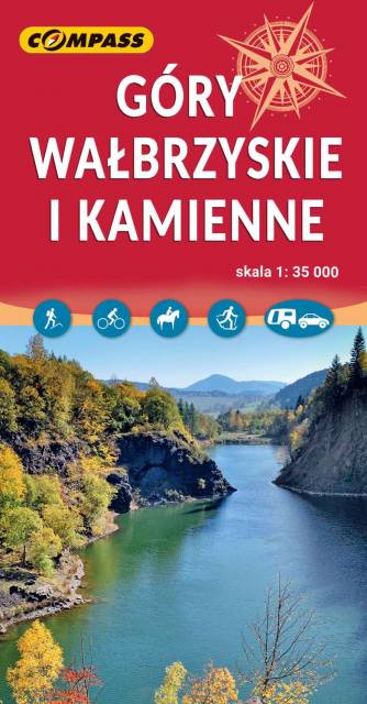
The Wałbrzyskie Mountains and The Stone Mountains are mountain ranges in the Central Sudetes on the border of the Czech Republic and Poland. The map also presents Adršpašskoteplické skály in Czech Republic, which is famous tourist destination.

An updated tourist map of the Central Sudety Mountains, with marked hiking and cycling trails. The map includes, among others, the Owl Mountains, the Wałbrzyskie Mountains and Foothills, the Kamienne Mountains and a large part of the Broumovska Vrchovina with the rock towns of Aderszpasko Teplickie Rocks. The map includes tourist attractions and practical information. Year of publication 2020
Wybrać około 100 atrakcji z tego regionu to niezwykle trudne zadanie. Miejsc szczególnych, wartych odwiedzenia jest tutaj znacznie więcej. Subiektywnego wyboru dokonał – opierając się na doświadczeniu jako pilota wycieczek, przewodnika turystycznego i górskiego – Waldemar Brygier (naszesudety.pl). Wśród polecanych atrakcji: zamki, pałace, muzea, skanseny, kopalnie, twierdze, osobliwości przyrody, uzdrowiska i wiele innych. Zapraszamy do lektury! Mapę offline można zakupić w aplikacji Traseo na urządzenia mobilne. Rok wydania 2019