


CHARAKTERYSTYKA TRASY

Komentarze
NA TEJ TRASIE PRZYDA CI SIĘ MAPA Z NASZEJ APLIKACJI
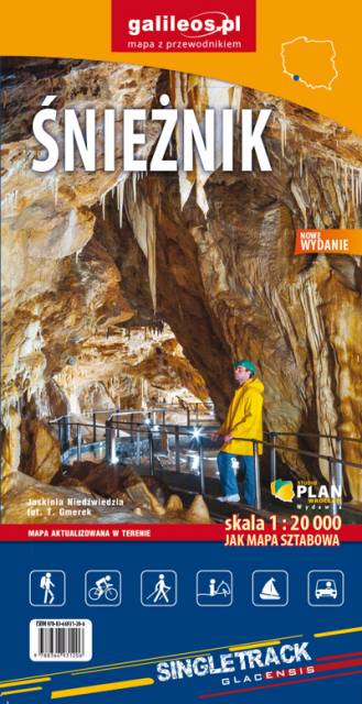
Mapa obejmuje obszar Masywu Śnieżnika. Na mapie zaznaczono informacje przydatne turyście, jak zabytki, noclegi, granice obszarów chronionych. W miejscowościach opisano nazwy głównych ulic. Podano aktualne przebiegi szlaków pieszych i rowerowych, łącznie z kilometrażem. Rok wydania 2021
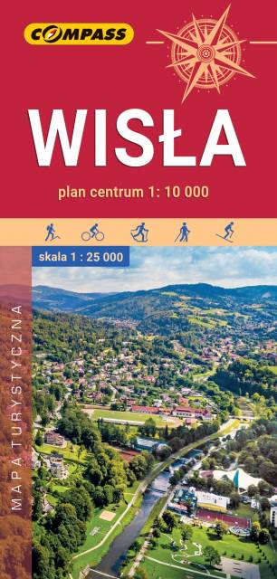
The map depicts the surroundings of an interesting tourist town located in the Silesian Beskid. The range of the map is marked by: Ustroń in the north, Wielka Czantoria in the west, Istebna in the south and Barania Góra in the east. The area around Wisła is famous for its numerous hiking and cycling trails and attractive cross-country skiing routes. There are more than 20 modern ski lifts as well as numerous sports and recreation centres.
The map also includes a plan of the centre of Wisła at a scale of 1:10'000 and descriptions of the main attractions along with a contact information (accommodation, offices, transport, culture, recreation). The offline map can be purchased from the Traseo app for mobile devices. Year of publication 2019
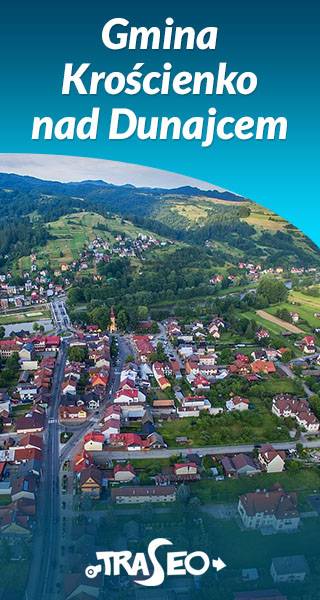
The map of the commune of Krościenko nad Dunajcem covers the area of three mountain ranges: Pieniny, Gorce and Radziejowa Range of Beskid Sądecki. Hiking trails have been marked here along with the given time and mileage. With tourists in mind, locations of monuments and tourist attractions were also marked. With tourists in mind, locations of monuments and tourist attractions were also marked. The map contains historical paths around Krościenko nad Dunajcem as well as routes to 11 mushrooms, which are situated in distinct landscape points of the commune.
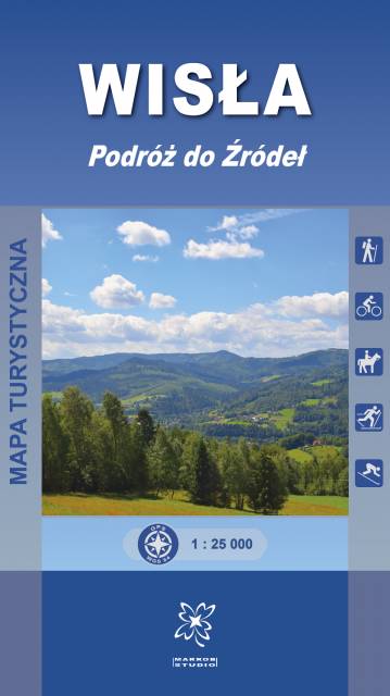
Mapa turystyczna „Wisła. Podróż do Źródeł” obejmuje swoim obszarem gminę Wisła, a także częściowo sąsiadujące miejscowości m.in. południową część Ustronia oraz Brennej.
Mapa prezentuje szlaki turystyczne z czasami przejść, ścieżki spacerowe i dydaktyczno-przyrodnicze, trasy rowerowe, szlaki konne i narciarskie. Zaznaczone są tu również atrakcje turystyczne, punkty widokowe, schroniska i inne obiekty noclegowe, a także pozostałe informacje niezbędne turyście podczas wędrówek górskich. Mapa zawiera również wyciągi narciarskie wraz z trasami zjazdowymi. Sprawdzi się we wszystkich 4 porach roku!