
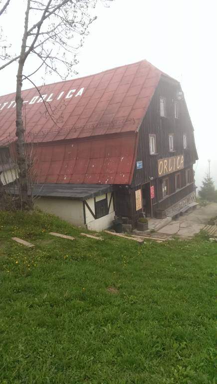
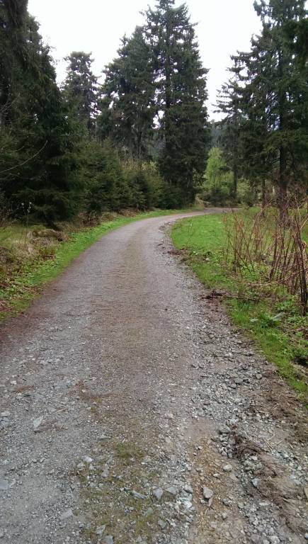
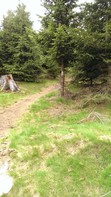

CHARAKTERYSTYKA TRASY

Komentarze
NA TEJ TRASIE PRZYDA CI SIĘ MAPA Z NASZEJ APLIKACJI
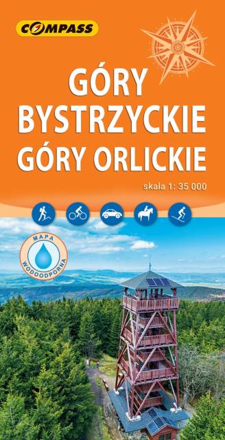
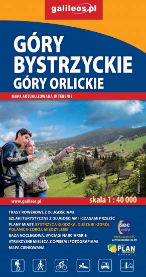
The map presents The Bystrzyckie Mountains and The Orlickie Mountains, with Polanica Zdrój and Duszniki health resorts, ski resorts in Zieleniec and Deštne. The mountain ranges are located in the Central Sudetes, spreading over Polish-Czech border. Tourist attractions, cycling and walking trails, protected areas borders, as well as other information useful for tourists (e.g. accomodation, restaurants, ski lifts) are marked on the map. The most interesting places are highlighted with a yellow frame.
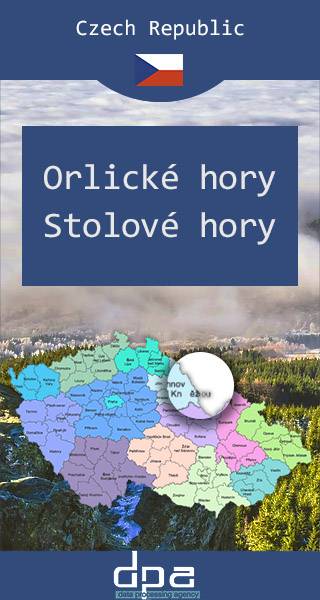
The Orlické Mountains are a mountain range located mainly in northeastern Bohemia in the Czech Republic, forming a subgroup of the Central Sudetes. They follow the border with Klodzko Land in Poland for 25 miles (40 km). The highest point in the range is Velká Deštná, at 1,115 m. The entire region has maintained its original natural character over the centuries, which is why you will find beech primeval forests, protected landscape areas or nature parks and reserves, interwoven with trails, right next to chateaux and town parks and groomed rural gardens. Stołowe Mountains are a 42-kilometre-long mountain range in Poland and the Czech Republic, part of the Sudetes. The Polish part of the range is protected as the Stołowe Mountains National Park. The highest peak of the range is Szczeliniec Wielki at 919 m. The range is formed of sandstone and, as the only one in Poland, presents plated structure with sheer mountain ledges. Among the tourist attractions there are two massifs: Szczeliniec Wielki on which the labyrinth, and Skalniak on which the labyrinth Błędne Skały (Errant Rocks). There are several notable rock formations, among them Kwoka ("Hen"), Wielbłąd ("Camel"), Małpa ("Monkey"), Głowa Konia ("Horse Head"), Fotel Pradziada ("Great Grandfather's Armchair").
Published: 2016/2017
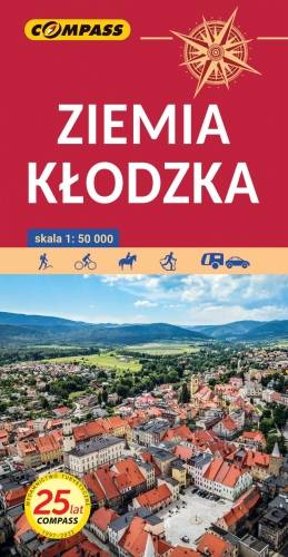
The map presents the region of Kłodzko Land (Ziemia Kłodzka) in the Sudety mountains, western Poland. It consists of the Kłodzko Valley and the surrounding Sudety mountains. Map range: Złoty Stok and Javornik to the east, Kudowa Zdrój and the pass of Stołowe Mountains to the west, Ząbkowice Ślaskie to the north and Kraliky town to the south.
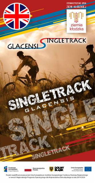
The tourist map presents the area of the Kłodzko Land (Polish part of the Glacensis Euroregion) with a network of new cycling trails called Singletrack Glacensis, located in the Bardzkie Mountains, Złote and the Śnieżnik Massif. The trails lead from Wilcza Pass through Bardo, Złoty Stok, Lądek-Zdrój, Stronie Śląskie and Międzygórze to Jodłowa. The map features and describes attractions, interesting towns, tourist information points, reserves and landscape parks, bicycle services, repair stations, e-bike charging stations and rest areas.
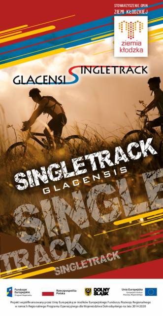
This tourist map shows the area of Klodzko Land (the Polish part of the Glacensis Euroregion) with the network of new bicycle routes Singletrack Glacensis, located in the Bardzkie, Złote, and Śnieżnik Mountains. The routes lead from the Wilcza Pass through Bardo, Złoty Stok, Lądek-Zdrój, Stronie Śląskie and Międzygórze to Jodłowo. The map highlights and describes attractions, interesting localities, tourist information points, nature reserves and landscape parks, bicycle services, repair and e-bike charging stations and rest shelters.